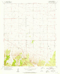
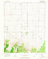
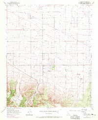
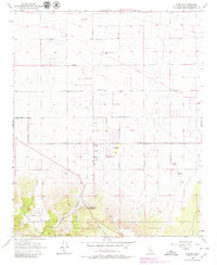
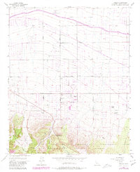
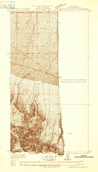
1956 Map of Phelan
USGS Topo · Published 1957About this map
The high desert community of Phelan serves as the focal point of this mid-century survey, situated at the base of the San Gabriel Mountains. This period reveals a landscape transitioning from isolated ranching outposts to a structured grid of rural roads. Named family holdings like Goss Ranch, Johnson Ranch, and Wilson Ranch are scattered across the alluvial slopes, while the village core features a Fire Control Station and the Yucca Inn.
Find a feature on this map
39 named features on this map. Tap any name to fly to it.
Don’t see what you’re looking for? This feature index may not catch every label — zoom into the map to look around manually.
Map Details
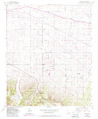
Editions of this 1956 Phelan Map
6 editions found
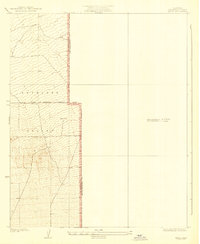
Other maps of this area

1901 · Southern California Sheet No. 1
USGS Topo · 1:250,000

1902 · Hesperia
USGS Topo · 1:62,500

1903 · San Antonio
USGS Topo · 1:62,500

1904 · Southern California Sheet No. 1
USGS Topo · 1:250,000
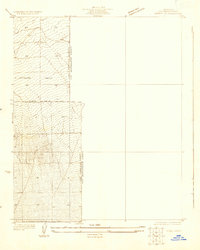
1930 · Angle
USGS Topo · 1:24,000
1932 · Angle
USGS Topo · 1:24,000

1932 · Barstow
USGS Topo · 1:125,000

1934 · Barstow
USGS Topo · 1:125,000
1934 · Boneyard Canyon
USGS Topo · 1:24,000
1936 · Swarthout
USGS Topo · 1:24,000