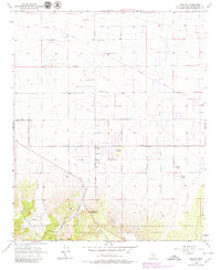
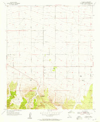
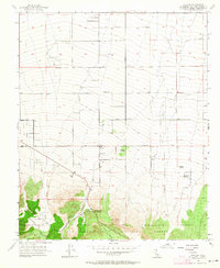
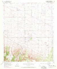
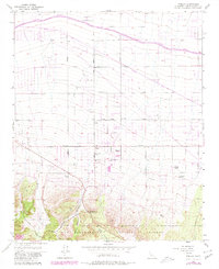
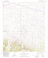
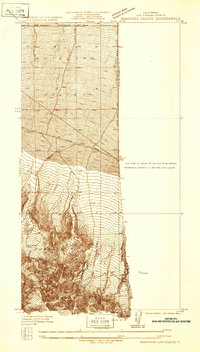
1956 Map of Phelan
USGS Topo · Published 1979About this map
Phelan and its surrounding ranchlands occupy the high desert floor in the mid-1950s, where the Mojave's alluvial fans meet the northern slopes of the San Bernardino National Forest. This era of development is defined by a grid of dirt and light-duty roads, including Goss Road and Phelan Road, serving established homesteads like Goss Ranch, Johnson Ranch, and Wilson Ranch. The landscape is a transition from agricultural life to desert travel, evidenced by the Yucca Inn and the southern reach of the Southern Pacific railroad line crossing the northern section.
Find a feature on this map
27 named features on this map. Tap any name to fly to it.
Don’t see what you’re looking for? This feature index may not catch every label — zoom into the map to look around manually.
Map Details
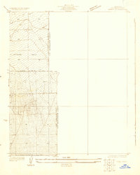
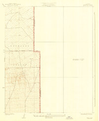
Editions of this 1956 Phelan Map
6 editions found
Other maps of this area

1901 · Southern California Sheet No. 1
USGS Topo · 1:250,000

1902 · Hesperia
USGS Topo · 1:62,500

1903 · San Antonio
USGS Topo · 1:62,500

1904 · Southern California Sheet No. 1
USGS Topo · 1:250,000
1930 · Angle
USGS Topo · 1:24,000
1932 · Angle
USGS Topo · 1:24,000

1932 · Barstow
USGS Topo · 1:125,000

1934 · Barstow
USGS Topo · 1:125,000
1934 · Boneyard Canyon
USGS Topo · 1:24,000
1936 · Swarthout
USGS Topo · 1:24,000