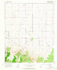
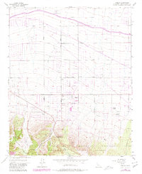
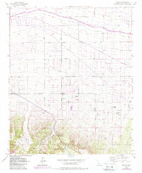
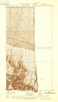
1956 Map of Phelan
USGS Topo · Published 1964About this map
Phelan sits at the high-desert transition where the alluvial fans of the San Gabriel Mountains meet the Mojave plains. This mid-1950s survey captures a landscape of scattered homesteads and family ranching before the significant suburban expansion of the Victor Valley. Notable landmarks like the Goss Ranch and Johnson Ranch dot the grid of unimproved dirt roads, while the Yucca Inn and Mountain Top Junction mark the critical intersections of local travel. To the south, the terrain climbs sharply into the San Bernardino National Forest, where steep drainages like Horse Canyon and Cajon Canyon define the landscape. The reliance on seasonal water and local resource management is evident through the presence of several Reservoirs and a Fire Control Station near the town center, reflecting the environmental realities of this arid high-altitude community.
Find a feature on this map
35 named features on this map. Tap any name to fly to it.
Don’t see what you’re looking for? This feature index may not catch every label — zoom into the map to look around manually.
Map Details
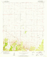
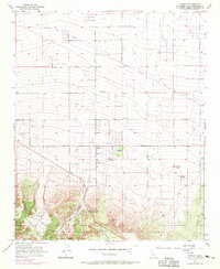
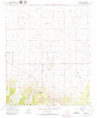
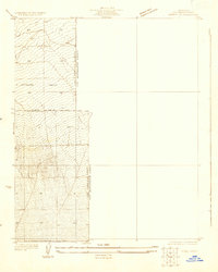
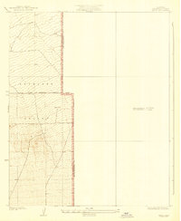
Editions of this 1956 Phelan Map
6 editions found
Other maps of this area

1901 · Southern California Sheet No. 1
USGS Topo · 1:250,000

1902 · Hesperia
USGS Topo · 1:62,500

1903 · San Antonio
USGS Topo · 1:62,500

1904 · Southern California Sheet No. 1
USGS Topo · 1:250,000
1930 · Angle
USGS Topo · 1:24,000
1932 · Angle
USGS Topo · 1:24,000

1932 · Barstow
USGS Topo · 1:125,000

1934 · Barstow
USGS Topo · 1:125,000
1934 · Boneyard Canyon
USGS Topo · 1:24,000
1936 · Swarthout
USGS Topo · 1:24,000