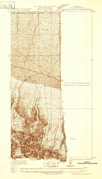
1956 Map of Phelan
USGS Topo · Published 1988About this map
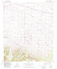
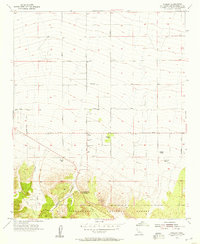
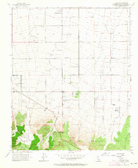
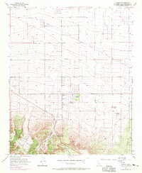
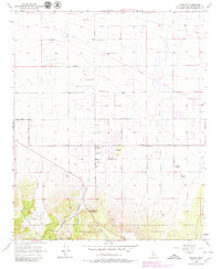
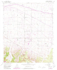
Phelan sits at the high-desert transition between the alluvial slopes of the north and the rising peaks of the San Bernardino National Forest to the south. This 1950s era survey, updated with late 1980s data, illustrates the settlement's foundations through a network of family-named landmarks like Goss Ranch, Johnson Ranch, and Buttemer Ranch. The landscape is defined by its drainage patterns, with Sheep Creek and Cajon Canyon carving paths through the terrain. Civil engineering of the mid-20th century is prominent, specifically the path of the California Aqueduct cutting across the northern sections. Local landmarks such as the Yucca Inn and Mountain Top Junction mark the intersection of travel and commerce along the desert's edge, while a Fire Control Station and various wells indicate the vital infrastructure required for life in this arid environment.
Find a feature on this map
45 named features on this map. Tap any name to fly to it.
Don’t see what you’re looking for? This feature index may not catch every label — zoom into the map to look around manually.
Map Details
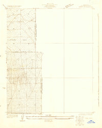
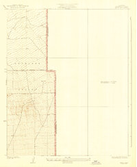
Editions of this 1956 Phelan Map
6 editions found
Other maps of this area

1901 · Southern California Sheet No. 1
USGS Topo · 1:250,000

1902 · Hesperia
USGS Topo · 1:62,500

1903 · San Antonio
USGS Topo · 1:62,500

1904 · Southern California Sheet No. 1
USGS Topo · 1:250,000
1930 · Angle
USGS Topo · 1:24,000
1932 · Angle
USGS Topo · 1:24,000

1932 · Barstow
USGS Topo · 1:125,000

1934 · Barstow
USGS Topo · 1:125,000
1934 · Boneyard Canyon
USGS Topo · 1:24,000
1936 · Swarthout
USGS Topo · 1:24,000