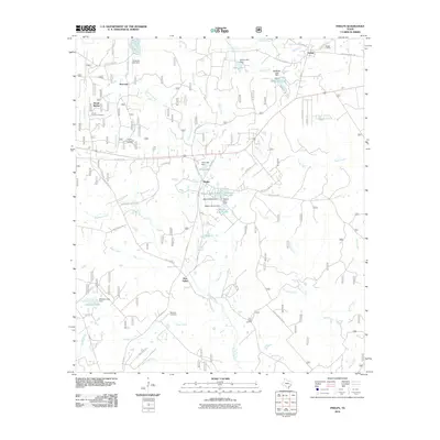
2010 Map of Phelps
USGS Topo · Published 2010About this map
Phelps and the surrounding Walker County countryside are characterized by a network of small creeks and man-made reservoirs. The landscape is defined by its water management, including the Tillie Lake Dam and the complex of Watson lakes such as Watson South Lake and Watson East Lake. This area north of the Sam Houston National Forest shows a mix of rural settlements and industrial footprint, most notably seen at the Morian-Sam Houston Oil Field.
Find a feature on this map
63 named features on this map. Tap any name to fly to it.
Don’t see what you’re looking for? This feature index may not catch every label — zoom into the map to look around manually.
Map Details
Editions of this 2010 Phelps Map
This is the sole edition of this map. No revisions or reprints were ever made.
Other maps of this area

1954 · Beaumont
USGS Topo · 1:250,000

1957 · Beaumont
USGS Topo · 1:250,000

1959 · Moore Grove
USGS Topo · 1:24,000

1960 · Maynard
USGS Topo · 1:24,000

1960 · New Waverly
USGS Topo · 1:24,000

1960 · Phelps
USGS Topo · 1:24,000

1961 · Staley
USGS Topo · 1:24,000

1961 · Riverside
USGS Topo · 1:24,000

1961 · Oakhurst
USGS Topo · 1:24,000

1962 · Pine Prairie
USGS Topo · 1:24,000