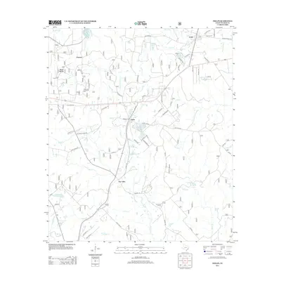
2013 Map of Phelps
USGS Topo · Published 2013About this map
The wooded landscapes of Walker County, Texas, are anchored by the small community of Phelps, a historic junction point in a region defined by its creek networks and timberlands. Just to the north lies Dodge, where the Dodge Lookout stands as a testament to the area's forestry management and high vantage points. The landscape is a network of waterways, including Winters Bayou and Phelps Creek Branch, which carve through the terrain and support several small lakes like Tillie Lake and the Watson Lakes group.
Find a feature on this map
68 named features on this map. Tap any name to fly to it.
Don’t see what you’re looking for? This feature index may not catch every label — zoom into the map to look around manually.
Map Details
Editions of this 2013 Phelps Map
This is the sole edition of this map. No revisions or reprints were ever made.
Other maps of this area

1954 · Beaumont
USGS Topo · 1:250,000

1957 · Beaumont
USGS Topo · 1:250,000

1959 · Moore Grove
USGS Topo · 1:24,000

1960 · Maynard
USGS Topo · 1:24,000

1960 · New Waverly
USGS Topo · 1:24,000

1960 · Phelps
USGS Topo · 1:24,000

1961 · Staley
USGS Topo · 1:24,000

1961 · Riverside
USGS Topo · 1:24,000

1961 · Oakhurst
USGS Topo · 1:24,000

1962 · Pine Prairie
USGS Topo · 1:24,000