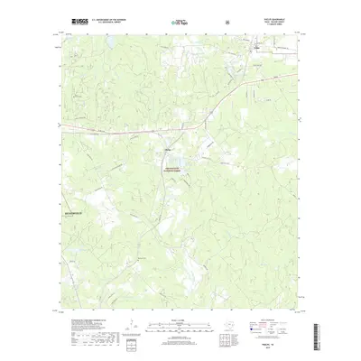
2019 Map of Phelps
USGS Topo · Published 2019About this map
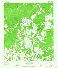
The Sam Houston National Forest dominates this section of East Texas, where the piney woods meet a dense network of creeks and small lakes. Centered on the community of Phelps, the landscape is defined by the headwaters of Winters Bayou and Harmon Cr. This area served as a vital timber and agricultural corridor, evidenced by the scattered small settlements and family-associated landmarks. Genealogists and local researchers will find the Grant Colony Cem and Blackjack Cem preserved among the forest tracts, alongside named water bodies like McMillian Lake and Tillie Lake. The eastern edge of Huntsville and the settlement of Dodge show the progression of rural development along the historic transport routes that have long connected Walker County’s primary hubs.
Find a feature on this map
63 named features on this map. Tap any name to fly to it.
Don’t see what you’re looking for? This feature index may not catch every label — zoom into the map to look around manually.
Map Details
Editions of this 2019 Phelps Map
This is the sole edition of this map. No revisions or reprints were ever made.
Other maps of this area

1954 · Beaumont
USGS Topo · 1:250,000

1957 · Beaumont
USGS Topo · 1:250,000
1959 · Moore Grove
USGS Topo · 1:24,000
1960 · Maynard
USGS Topo · 1:24,000
1960 · New Waverly
USGS Topo · 1:24,000
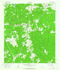
1960 · Phelps
USGS Topo · 1:24,000
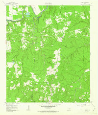
1961 · Staley
USGS Topo · 1:24,000
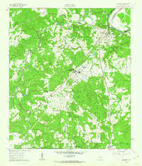
1961 · Riverside
USGS Topo · 1:24,000
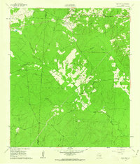
1961 · Oakhurst
USGS Topo · 1:24,000
1962 · Pine Prairie
USGS Topo · 1:24,000