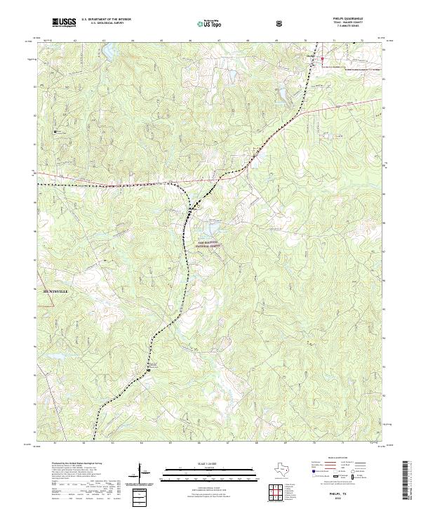
2022 Map of Phelps
USGS Topo · Published 2022About this map
Phelps serves as a central hub within this portion of the Sam Houston National Forest, where a network of forest roads and creek systems define the Walker County landscape. The area is characterized by dense woodland drainage, with Winters Bayou and Harmon Creek branching into numerous tributaries like Thickett Br and Elk Fork Harmon Cr. For genealogists and local historians, the map identifies significant sites such as the Black Jack Methodist Church Cem and the Grant Colony Cem near the western edge. Settlement patterns are concentrated around the communities of Dodge and Phelps, while the eastern portion remains dominated by the riparian corridors of Boswell Creek and its many small lakes, including Watson West Lake and Watson East Lake. This modern survey details the extensive road network that now facilitates access through the national forest lands.
Find a feature on this map
73 named features on this map. Tap any name to fly to it.
Don’t see what you’re looking for? This feature index may not catch every label — zoom into the map to look around manually.
Map Details
Editions of this 2022 Phelps Map
This is the sole edition of this map. No revisions or reprints were ever made.
Other maps of this area

1954 · Beaumont
USGS Topo · 1:250,000

1957 · Beaumont
USGS Topo · 1:250,000

1959 · Moore Grove
USGS Topo · 1:24,000

1960 · Maynard
USGS Topo · 1:24,000

1960 · New Waverly
USGS Topo · 1:24,000

1960 · Phelps
USGS Topo · 1:24,000

1961 · Staley
USGS Topo · 1:24,000

1961 · Riverside
USGS Topo · 1:24,000

1961 · Oakhurst
USGS Topo · 1:24,000

1962 · Pine Prairie
USGS Topo · 1:24,000