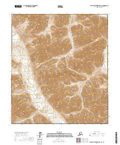
2017 Map of Philip Smith Mountains C-3 SE
USGS Topo · Published 2017About this map
San Mateo and the mid-Peninsula appear in transition during this 1917 reprint of an 1899 survey. The Southern Pacific R. R. corridor anchors the development of San Mateo, Redwood City, Menlo Park, and Palo Alto, where Stanford University stands at the southern edge. Along the coast, the Ocean Shore R. R. is shown as under construction, tracing the cliffs near Halfmoon Bay (San Pedro) and Purisima. Inland, the Spring Valley Lakes system—comprising San Andreas Lake, Crystal Springs Lake, and Pilarcitos Lake—dominates the rift valley between Sawyer Ridge and Cahill Ridge. These reservoirs were critical infrastructure for the growing San Francisco region. The map captures the rustic character of Woodside and Belmont before the suburban expansion of the 20th century, contrasting the developed bayside plain with the steep, wooded terrain of Montara Mountain and Irish Ridge.
Find a feature on this map
11 named features on this map. Tap any name to fly to it.
Don’t see what you’re looking for? This feature index may not catch every label — zoom into the map to look around manually.
Map Details
Editions of this 2017 Philip Smith Mountains C-3 SE Map
This is the sole edition of this map. No revisions or reprints were ever made.
Other maps of this area

1951 · Brooks
USGS Topo · 1:250,000

1956 · Philip Smith Mountains
USGS Topo · 1:250,000

1964 · Philip Smith Mountains
USGS Topo · 1:250,000
1971 · Philip Smith Mountains C-2
USGS Topo · 1:63,360
1971 · Philip Smith Mountains C-3
USGS Topo · 1:63,360

1971 · Philip Smith Mountains B-3
USGS Topo · 1:63,360
1971 · Philip Smith Mountains B-2
USGS Topo · 1:63,360
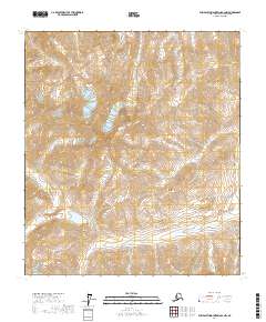
2017 · Philip Smith Mountains B-2 NW
USGS Topo · 1:25,000
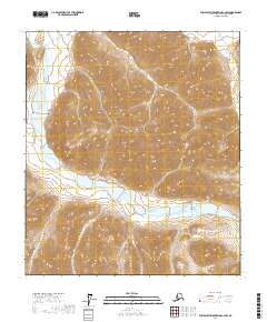
2017 · Philip Smith Mountains C-2 SW
USGS Topo · 1:25,000
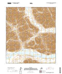
2017 · Philip Smith Mountains C-2 NW
USGS Topo · 1:25,000