
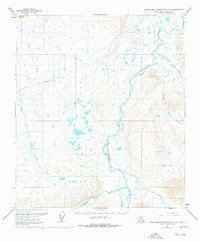
1971 Map of Philip Smith Mountains C-4
USGS Topo · Published 1973About this map
The Sagavanirktok River dominates this portion of the North Slope, carving a wide valley through the northern foothills of the Philip Smith Mountains. Surveyed just as the region became a focal point for trans-Alaska logistics, the map captures a landscape defined by braided river systems and Arctic tundra. Significant elevation changes are marked by Imnavait Mountain in the northwest and the steep walls of Atigun Gorge to the south. A lone Winter Road traces a path along the Sagavanirktok, illustrating the seasonal nature of transportation in this environment before permanent highway infrastructure was established. Smaller watercourses like Accomplishment Creek, Toolik River, and Kuparuk River drain the surrounding slopes, while Section Creek cuts through the eastern uplands, showing the complex drainage patterns of the Brooks Range foothills.
Find a feature on this map
14 named features on this map. Tap any name to fly to it.
Don’t see what you’re looking for? This feature index may not catch every label — zoom into the map to look around manually.
Map Details
Editions of this 1971 Philip Smith Mountains C-4 Map
2 editions found
Other maps of this area

1951 · Brooks
USGS Topo · 1:250,000

1956 · Philip Smith Mountains
USGS Topo · 1:250,000

1964 · Philip Smith Mountains
USGS Topo · 1:250,000
1971 · Philip Smith Mountains D-3
USGS Topo · 1:63,360
1971 · Philip Smith Mountains B-5
USGS Topo · 1:63,360
1971 · Philip Smith Mountains C-3
USGS Topo · 1:63,360
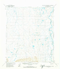
1971 · Philip Smith Mountains D-4
USGS Topo · 1:63,360

1971 · Philip Smith Mountains B-3
USGS Topo · 1:63,360
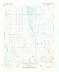
1971 · Philip Smith Mountains D-5
USGS Topo · 1:63,360
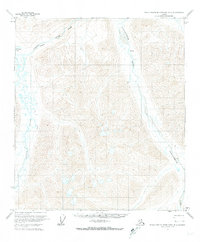
1971 · Philip Smith Mountains B-4
USGS Topo · 1:63,360