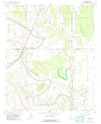
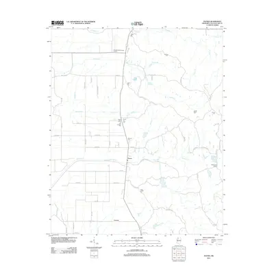
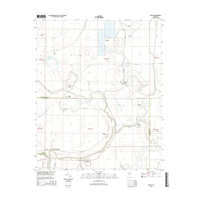
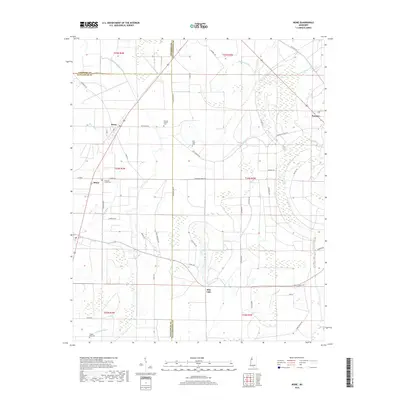
1932 Map of Philipp
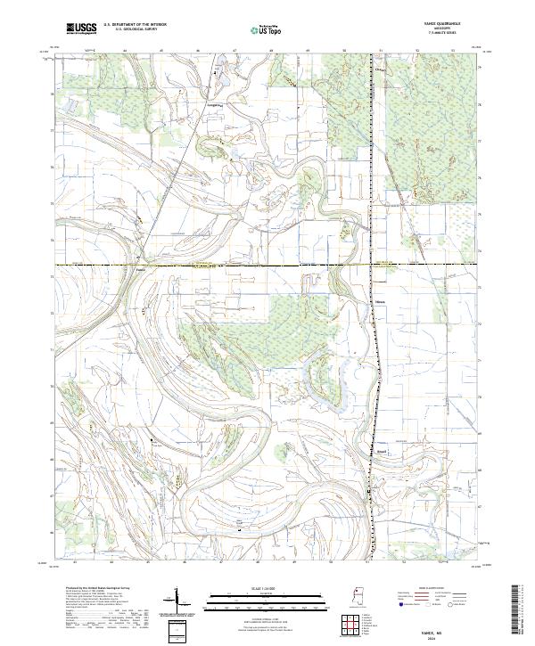
USGS Topo · Published 1954About this map
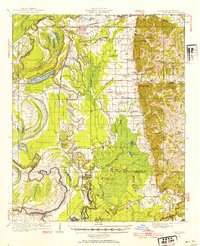
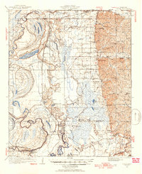
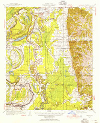
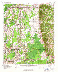
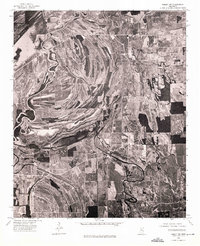
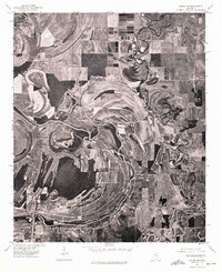
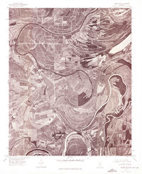
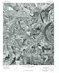
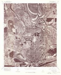
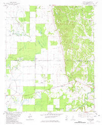
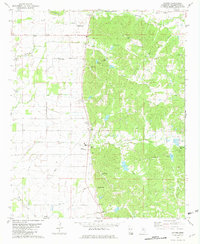
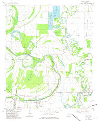
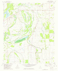
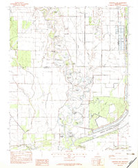
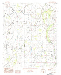
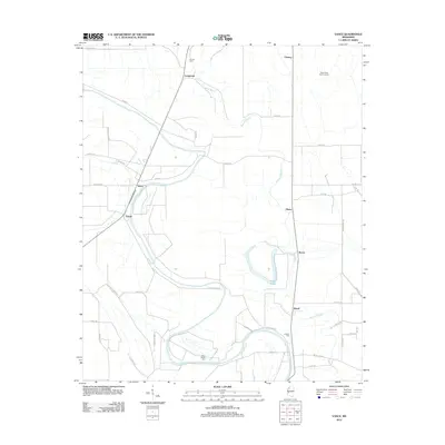
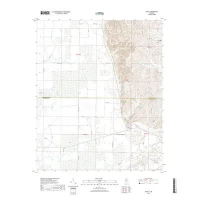
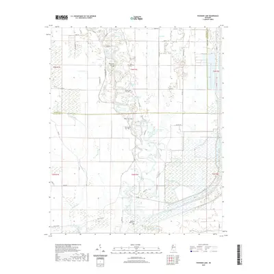
The Tallahatchie River and the Yazoo River converge in this delta landscape, where intricate levee systems and abandoned oxbows like Alligator Lake and Fish Lake define the terrain. Surveyed in the late 1920s and early 30s, the map illustrates a rural society deeply rooted in localized community hubs. Small settlements such as Philipp and Tippo serve as anchors, while the countryside is densely dotted with neighborhood landmarks like Jerusalem Chapel, Jonas Chapel Sch, and the Whole Truth Ch.
Find a feature on this map
87 named features on this map. Tap any name to fly to it.
Don’t see what you’re looking for? This feature index may not catch every label — zoom into the map to look around manually.
Map Details
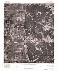
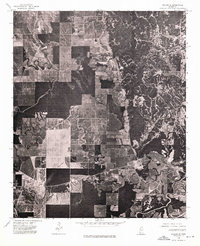
Editions of this 1932 Philipp Map
4 editions found

Historical Maps of Charleston Through Time
53 maps found
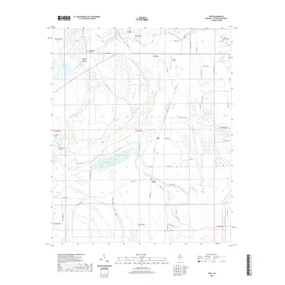
1932 Philipp
Tallahatchie County, MS

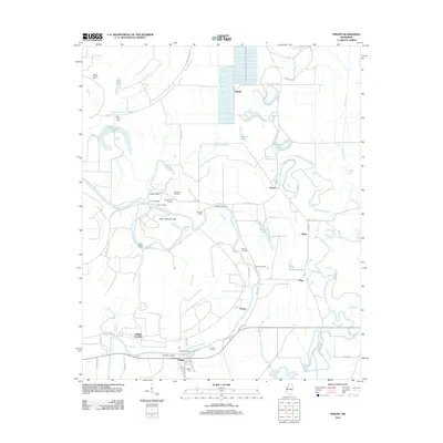
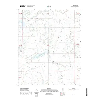
1935 Philipp
Tallahatchie County, MS

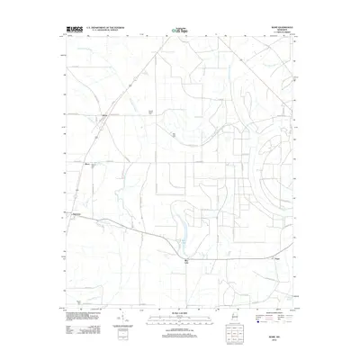
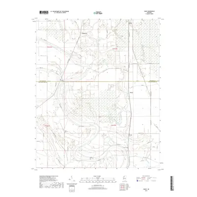
1939 Philipp
Tallahatchie County, MS
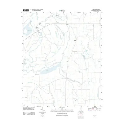
1957 Philipp
Tallahatchie County, MS
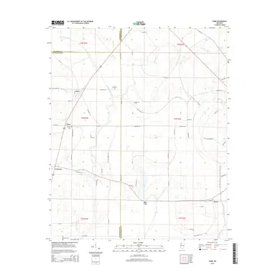
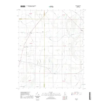
1967 Vance
Tallahatchie County, MS
1974 Philipp NE
Tallahatchie County, MS
1974 Philipp NW
Tallahatchie County, MS
1974 Philipp SE
Tallahatchie County, MS
1974 Philipp SW
Tallahatchie County, MS
1974 Sumner NE
Tallahatchie County, MS
1974 Sumner NW
Tallahatchie County, MS
1974 Sumner SE
Tallahatchie County, MS
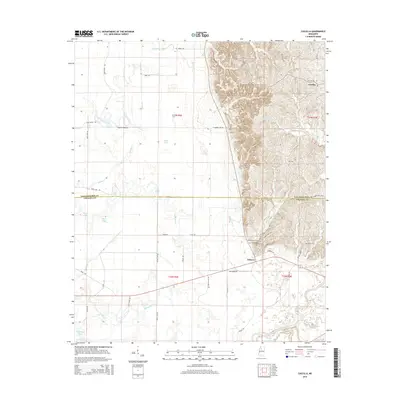
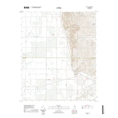
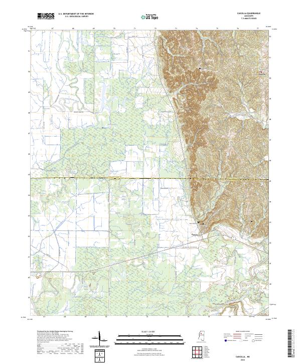
1981 Cascilla
Tallahatchie County, MS
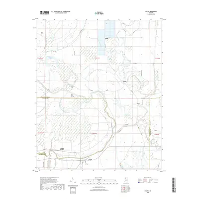
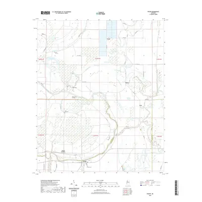
1981 Paynes
Tallahatchie County, MS
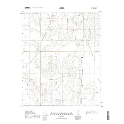
1981 Philipp
Tallahatchie County, MS
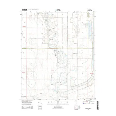
1981 Tippo
Tallahatchie County, MS
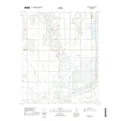
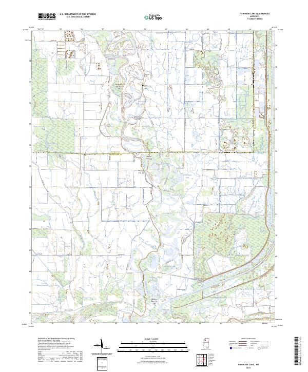
1982 Fishhook Lake
Tallahatchie County, MS
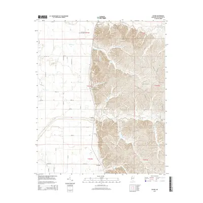
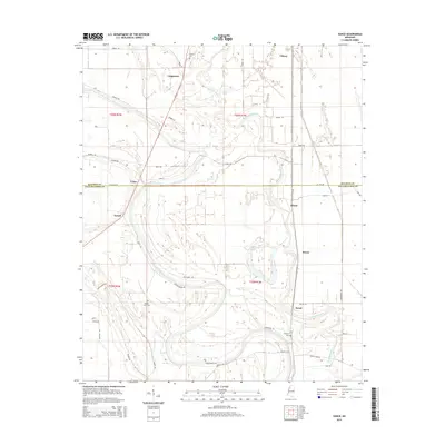
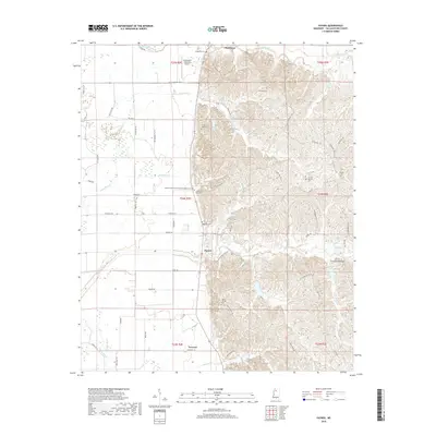
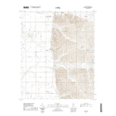
1983 Rome
Tallahatchie County, MS
2012 Cascilla
Tallahatchie County, MS
2012 Fishhook Lake
Tallahatchie County, MS
2012 Paynes
Tallahatchie County, MS
2012 Philipp
Tallahatchie County, MS
2012 Rome
Tallahatchie County, MS
2012 Tippo
Tallahatchie County, MS
2012 Vance
Tallahatchie County, MS
2015 Cascilla
Tallahatchie County, MS
2015 Fishhook Lake
Tallahatchie County, MS
2015 Paynes
Tallahatchie County, MS
2015 Philipp
Tallahatchie County, MS
2015 Rome
Tallahatchie County, MS
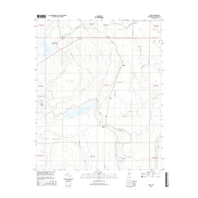
2015 Tippo
Tallahatchie County, MS
2015 Vance
Tallahatchie County, MS
2018 Cascilla
Tallahatchie County, MS
2018 Fishhook Lake
Tallahatchie County, MS
2018 Paynes
Tallahatchie County, MS
2018 Philipp
Tallahatchie County, MS
2018 Rome
Tallahatchie County, MS
2018 Tippo
Tallahatchie County, MS
2018 Vance
Tallahatchie County, MS
2020 Cascilla
Tallahatchie County, MS
2020 Fishhook Lake
Tallahatchie County, MS
2020 Paynes
Tallahatchie County, MS
2020 Philipp
Tallahatchie County, MS
2020 Rome
Tallahatchie County, MS
2020 Tippo
Tallahatchie County, MS
2020 Vance
Tallahatchie County, MS
2024 Cascilla
Tallahatchie County, MS
2024 Fishhook Lake
Tallahatchie County, MS
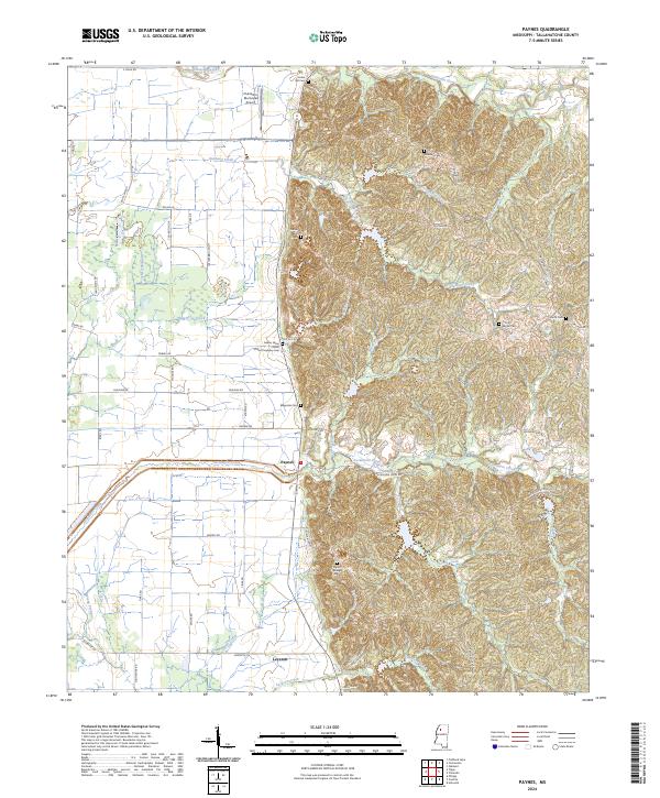
2024 Paynes
Tallahatchie County, MS
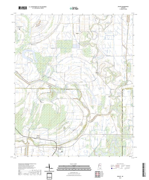
2024 Philipp
Tallahatchie County, MS
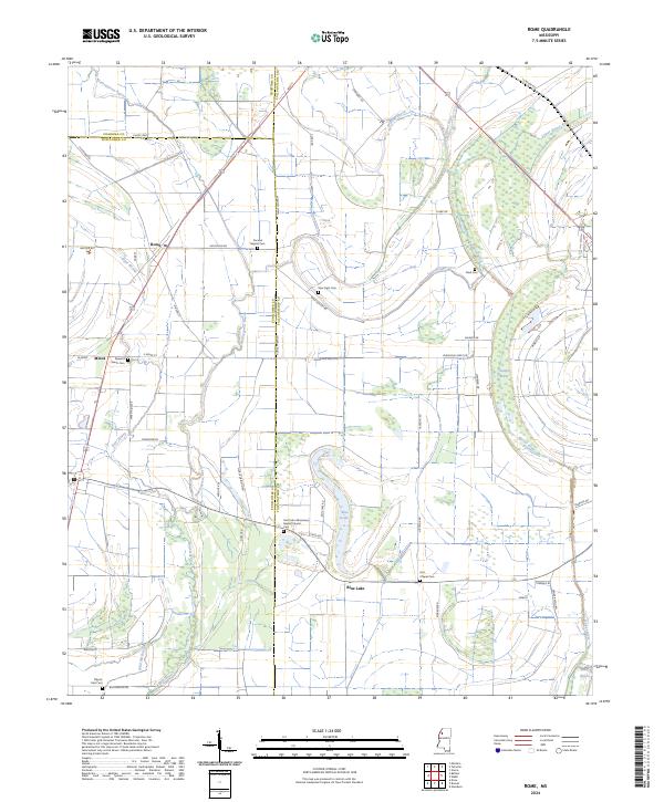
2024 Rome
Tallahatchie County, MS
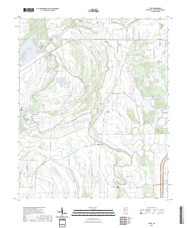
2024 Tippo
Tallahatchie County, MS
2024 Vance
Tallahatchie County, MS