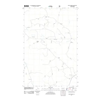
2011 Map of Phillip Spring
USGS Topo · Published 2011About this map
Working ranches and carved coulees define this corner of the North Dakota badlands. Named operations such as the Wheeling-Hatter Ranch, L Ronningen Ranch, and the Interstate Land and Cattle company highlight the livestock economy that persists in the 21st century. The landscape is deeply incised by drainage systems like Bennie Peer Creek and One-O-One Creek, which feed into various draws across the terrain.
Find a feature on this map
37 named features on this map. Tap any name to fly to it.
Don’t see what you’re looking for? This feature index may not catch every label — zoom into the map to look around manually.
Map Details
Editions of this 2011 Phillip Spring Map
This is the sole edition of this map. No revisions or reprints were ever made.
Other maps of this area

1909 · Glendive
USGS Topo · 1:250,000

1953 · Watford City
USGS Topo · 1:250,000

1954 · Glendive
USGS Topo · 1:250,000

1957 · Glendive
USGS Topo · 1:250,000

1957 · Watford City
USGS Topo · 1:250,000

1958 · Glendive
USGS Topo · 1:250,000

1966 · Sidney NE
USGS Topo · 1:24,000

1967 · Watford City
USGS Topo · 1:250,000

1972 · Horse Creek School
USGS Topo · 1:24,000

1972 · Sidney SE
USGS Topo · 1:24,000