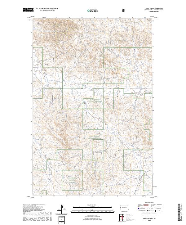
2024 Map of Phillip Spring
USGS Topo · Published 2024About this map
Little Missouri National Grassland dominates this portion of McKenzie County, revealing a complex network of ephemeral drainages and essential water sources in a high-plains landscape. The terrain is characterized by deeply etched features like Corral Draw and Badlands Draw, which give way to the more prominent West Fork Badlands Draw and East Fork Badlands Draw. These draws and creek beds define the local geography, illustrating how water has historically shaped the travel routes and livestock management across this territory.
Find a feature on this map
21 named features on this map. Tap any name to fly to it.
Don’t see what you’re looking for? This feature index may not catch every label — zoom into the map to look around manually.
Map Details
Editions of this 2024 Phillip Spring Map
This is the sole edition of this map. No revisions or reprints were ever made.
Other maps of this area

1909 · Glendive
USGS Topo · 1:250,000

1953 · Watford City
USGS Topo · 1:250,000

1954 · Glendive
USGS Topo · 1:250,000

1957 · Glendive
USGS Topo · 1:250,000

1957 · Watford City
USGS Topo · 1:250,000

1958 · Glendive
USGS Topo · 1:250,000

1966 · Sidney NE
USGS Topo · 1:24,000

1967 · Watford City
USGS Topo · 1:250,000

1972 · Horse Creek School
USGS Topo · 1:24,000

1972 · Sidney SE
USGS Topo · 1:24,000