
1952 Map of Phoenix
USGS Topo · Published 1957About this map
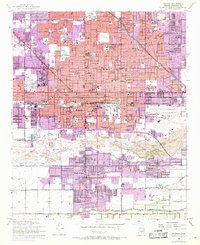
Phoenix undergoes a period of significant post-war expansion in this early 1950s survey, showing the city's transition from an agricultural hub to a major desert metropolis. The dense grid of downtown streets is anchored by institutional landmarks such as Arizona State Hosp, the Heard Museum, and a vast network of neighborhood schools like Booker T Washington Sch and Kenilworth School. Industrial and aviation infrastructure is prominent, with Phoenix Municipal Airport and Airhaven Airport serving the growing population, while the Salt River defines the southern boundary of the urban core.
Find a feature on this map
109 named features on this map. Tap any name to fly to it.
Don’t see what you’re looking for? This feature index may not catch every label — zoom into the map to look around manually.
Map Details
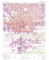
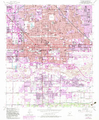
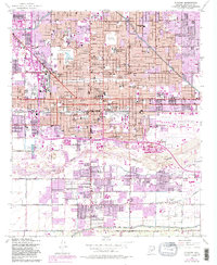
Editions of this 1952 Phoenix Map
5 editions found
Other maps of this area

1904 · Camelback
USGS Topo · 1:62,500

1906 · Camelsback
USGS Topo · 1:62,500

1912 · Phoenix
USGS Topo · 1:62,500

1913 · Mesa
USGS Topo · 1:62,500

1914 · Phoenix
USGS Topo · 1:62,500

1915 · Mesa
USGS Topo · 1:62,500

1930 · Cave Creek
USGS Topo · 1:125,000

1939 · Cave Creek
USGS Topo · 1:125,000

1952 · Tempe
USGS Topo · 1:24,000

1952 · Lone Butte
USGS Topo · 1:24,000