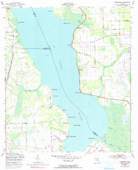
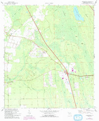
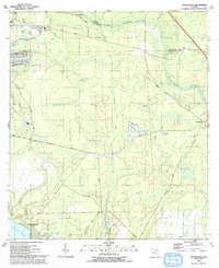
1949 Map of Picolata
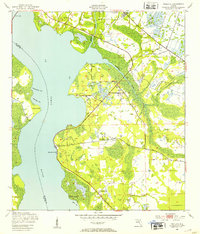
USGS Topo · Published 1953This historical map portrays the area of Picolata in 1949, primarily covering St. Johns County as well as portions of Clay County. Featuring a scale of 1:24000, this map provides a highly detailed snapshot of the terrain, roads, buildings, counties, and historical landmarks in the Picolata region at the time. Published in 1953, it is one of 4 known editions of this map due to revisions or reprints.
Find a feature on this map
22 named features on this map. Tap any name to fly to it.
Don’t see what you’re looking for? This feature index may not catch every label — zoom into the map to look around manually.
Map Details
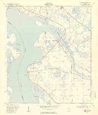
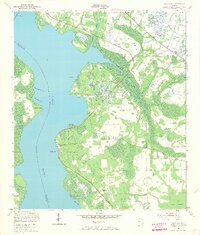
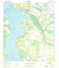
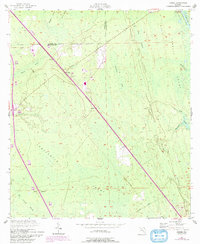
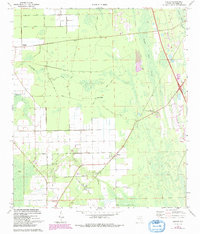
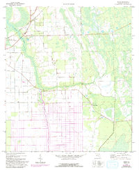
Editions of this 1949 Picolata Map
4 editions found
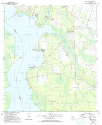
Historical Maps of Meldrim Park Through Time
17 maps found

1937 Bakersville
St. Johns County, FL

1937 Elkton
St. Johns County, FL
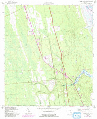
1949 Picolata
St. Johns County, FL
1949 Riverdale
St. Johns County, FL
1952 Durbin
St. Johns County, FL
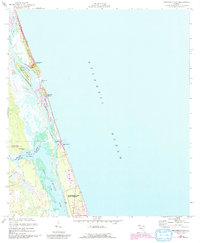
1952 Mickler Landing
St. Johns County, FL
1952 Orangedale
St. Johns County, FL
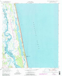
1952 South Ponte Vedra Beach
St. Johns County, FL
1956 Dinner Island NE
St. Johns County, FL
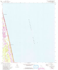
1956 Matanzas Inlet
St. Johns County, FL
1964 Mickler Landing
St. Johns County, FL
1970 Bakersville
St. Johns County, FL
1970 Elkton
St. Johns County, FL
1970 Spuds
St. Johns County, FL
1991 Picolata
St. Johns County, FL

1991 Riverdale
St. Johns County, FL
1993 Orangedale
St. Johns County, FL