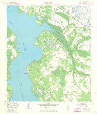
1949 Map of Picolata
USGS Topo · Published 1968About this map
The St Johns River defines the western edge of this 1940s landscape, serving as a wide aquatic boundary between St. Johns and Clay counties. Along its eastern shore, small riverside settlements like Picolata, Palmo, and Magnolia Landing reflect a quiet, rural Florida before the era of major coastal expansion. The interior is marked by a network of drainage and transport, with Sixmile Creek and Trout Creek winding through the wooded terrain.
Find a feature on this map
20 named features on this map. Tap any name to fly to it.
Don’t see what you’re looking for? This feature index may not catch every label — zoom into the map to look around manually.
Map Details
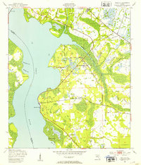
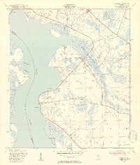
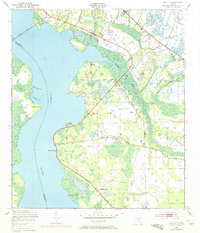
Editions of this 1949 Picolata Map
4 editions found
Other maps of this area

1917 · Orange Park
USGS Topo · 1:62,500

1918 · Orange Park
USGS Topo · 1:62,500

1918 · Palm Valley
USGS Topo · 1:62,500

1937 · Bakersville
USGS Topo · 1:24,000

1937 · Elkton
USGS Topo · 1:24,000

1943 · St. Augustine
USGS Topo · 1:62,500

1947 · Bostwick
USGS Topo · 1:50,000

1948 · Jacksonville
USGS Topo · 1:250,000

1949 · Bostwick
USGS Topo · 1:24,000

1949 · Green Cove Springs
USGS Topo · 1:24,000