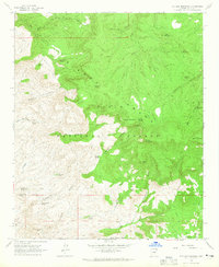
1964 Map of Picture Mountain
USGS Topo · Published 1965About this map
Sierra Ancha dominates this mid-1960s topographic study within the Tonto National Forest, characterized by its high-elevation peaks and complex canyon systems. The landscape is defined by massive landforms such as Picture Mountain and Mistake Peak, while human activity is evidenced by scattered Ruins and early mining Prospects. Water remains the primary shaper of both the terrain and its history, with named springs like Rock House Spring, Del Shay Spring, and Grapevine Spring providing essential resources in this arid environment. Down in the southeastern corner, the terrain softens into the Greenback Valley near the Oak Creek Ranch, offering a contrast to the sheer drops of Lambing Canyon and Horse Canyon. The network of jeep trails winding through the Shay Basin and across Horse Range Mesa reflects the area's mid-century accessibility for ranching and resource exploration.
Find a feature on this map
46 named features on this map. Tap any name to fly to it.
Don’t see what you’re looking for? This feature index may not catch every label — zoom into the map to look around manually.
Map Details
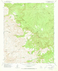
Editions of this 1964 Picture Mountain Map
2 editions found
Other maps of this area

1887 · Verde
USGS Topo · 1:250,000

1892 · Verde
USGS Topo · 1:250,000

1907 · Roosevelt
USGS Topo · 1:125,000

1909 · Four Peaks
USGS Topo · 1:125,000

1912 · Roosevelt
USGS Topo · 1:125,000

1936 · Payson
USGS Topo · 1:48,000

1937 · Diamond Butte
USGS Topo · 1:48,000

1942 · Payson
USGS Topo · 1:62,500

1943 · Diamond Butte
USGS Topo · 1:62,500

1954 · Holbrook
USGS Topo · 1:250,000