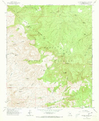
1964 Map of Picture Mountain
USGS Topo · Published 1973About this map
The Sierra Ancha range dominates this Gila County landscape, where the Tonto National Forest protects a complex network of high peaks and deep drainage basins. Water is the primary driver of human activity here, evidenced by the numerous named water sources such as Jump-off Spring, Del Shay Spring, and Grapevine Spring that dot the arid terrain. The presence of several ruins and a Rock House Spring suggests long-standing habitation or seasonal use of these remote canyons.
Find a feature on this map
45 named features on this map. Tap any name to fly to it.
Don’t see what you’re looking for? This feature index may not catch every label — zoom into the map to look around manually.
Map Details
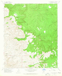
Editions of this 1964 Picture Mountain Map
2 editions found
Other maps of this area

1887 · Verde
USGS Topo · 1:250,000

1892 · Verde
USGS Topo · 1:250,000

1907 · Roosevelt
USGS Topo · 1:125,000

1909 · Four Peaks
USGS Topo · 1:125,000

1912 · Roosevelt
USGS Topo · 1:125,000

1936 · Payson
USGS Topo · 1:48,000

1937 · Diamond Butte
USGS Topo · 1:48,000

1942 · Payson
USGS Topo · 1:62,500

1943 · Diamond Butte
USGS Topo · 1:62,500

1954 · Holbrook
USGS Topo · 1:250,000