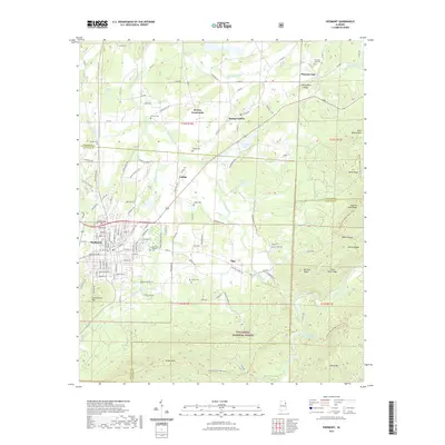
2021 Map of Piedmont
USGS Topo · Published 2021About this map
Piedmont serves as the primary hub in this corner of Northeast Alabama, where the foothills of the southern Appalachians meet the valley floor. The map documents a landscape defined by the drainage of Terrapin Creek and Nances Creek, with numerous smaller communities like Spring Garden, Ladiga, and Vigo connected by a network of rural county roads. This 2021 survey illustrates the modern configuration of the Talladega National Forest, which covers the high ridges of Dugger Mtn and Oakey Mtn to the south.
Find a feature on this map
120 named features on this map. Tap any name to fly to it.
Don’t see what you’re looking for? This feature index may not catch every label — zoom into the map to look around manually.
Map Details
Editions of this 2021 Piedmont Map
This is the sole edition of this map. No revisions or reprints were ever made.
Other maps of this area

1886 · Rome
USGS Topo · 1:125,000

1889 · Tallapoosa
USGS Topo · 1:125,000

1892 · Tallapoosa
USGS Topo · 1:125,000

1893 · Fort Payne
USGS Topo · 1:125,000

1897 · Tallapoosa
USGS Topo · 1:125,000

1898 · Rome
USGS Topo · 1:125,000

1898 · Fort Payne
USGS Topo · 1:125,000

1899 · Rome
USGS Topo · 1:125,000

1900 · Fort Payne
USGS Topo · 1:125,000

1900 · Anniston
USGS Topo · 1:125,000