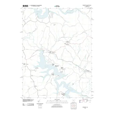
2010 Map of Piedmont
USGS Topo · Published 2010About this map
Piedmont Lake and Clendening Lake dominate this eastern Ohio landscape, where the waters of Stillwater Creek and Boggs Fork were harnessed by the construction of the Piedmont Dam. The map reveals a transition from traditional agricultural settlements to recreational lakeside communities, evidenced by a series of planned developments like the Hilltop Cottage Area, Goodrich Cottage Area, and Reynolds Road Cottage Area. In the small hamlet of Moorefield, the Moorefield Post Office stands near the Moorefield Methodist Episcopal Cemetery, serving as a focal point for the local rural community.
Find a feature on this map
86 named features on this map. Tap any name to fly to it.
Don’t see what you’re looking for? This feature index may not catch every label — zoom into the map to look around manually.
Map Details
Editions of this 2010 Piedmont Map
This is the sole edition of this map. No revisions or reprints were ever made.
Other maps of this area

1902 · Scio
USGS Topo · 1:62,500

1903 · Flushing
USGS Topo · 1:62,500

1904 · Scio
USGS Topo · 1:62,500

1905 · Flushing
USGS Topo · 1:62,500

1909 · Antrim
USGS Topo · 1:48,000

1909 · Uhrichsville
USGS Topo · 1:62,500

1911 · Antrim
USGS Topo · 1:62,500

1911 · Uhrichsville
USGS Topo · 1:62,500

1951 · Canton
USGS Topo · 1:250,000

1953 · Canton
USGS Topo · 1:250,000