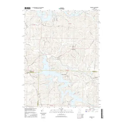
2016 Map of Piedmont
USGS Topo · Published 2016About this map
Piedmont Lake and Clendening Lake dominate this eastern Ohio landscape, where the borders of Harrison, Guernsey, and Belmont counties converge. The terrain is defined by a dense network of ridges and narrow valleys, with settlements like Moorefield and Piedmont situated along winding ridge-top and valley roads. The map reveals a high concentration of sites important to local genealogy, including the Moorefield Methodist Episcopal Cem and the Quaker Cem near Smyrna. Waterways such as Stillwater Creek, Boggs Fork, and Sixmile Run carve through the hills, feeding the large reservoirs. Notable landmarks like Prospect Hill provide vertical relief in an area characterized by dispersed rural residences and small community centers like Belmont Ridge and Oakgrove. This map offers a clear view of the complex hydrology and rural settlement patterns of the region during the early twenty-first century.
Find a feature on this map
116 named features on this map. Tap any name to fly to it.
Don’t see what you’re looking for? This feature index may not catch every label — zoom into the map to look around manually.
Map Details
Editions of this 2016 Piedmont Map
This is the sole edition of this map. No revisions or reprints were ever made.
Other maps of this area

1902 · Scio
USGS Topo · 1:62,500

1903 · Flushing
USGS Topo · 1:62,500

1904 · Scio
USGS Topo · 1:62,500

1905 · Flushing
USGS Topo · 1:62,500

1909 · Antrim
USGS Topo · 1:48,000

1909 · Uhrichsville
USGS Topo · 1:62,500

1911 · Antrim
USGS Topo · 1:62,500

1911 · Uhrichsville
USGS Topo · 1:62,500

1951 · Canton
USGS Topo · 1:250,000

1953 · Canton
USGS Topo · 1:250,000