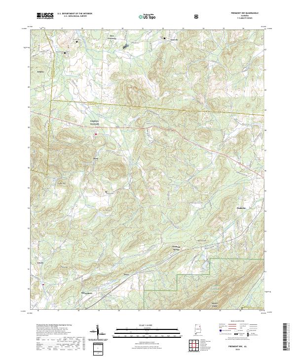
2024 Map of Piedmont NW
USGS Topo · Published 2024About this map
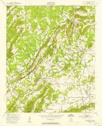
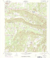
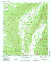
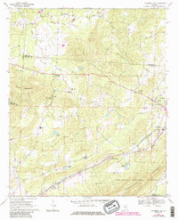
Colvin Mountain and Choccolocco Mountain define the topography of this northeastern Alabama landscape, where the ridges of the Talladega National Forest meet the valley floors of Calhoun and Cherokee counties. The map captures a transition from rural crossroads like Knightens Crossroads and Estes Crossroads to the more developed edges of Piedmont. Significant natural springs, such as Collins Spring and Hendon Spring, suggest a landscape historically reliant on reliable water sources for both agriculture and early settlement.
Find a feature on this map
112 named features on this map. Tap any name to fly to it.
Don’t see what you’re looking for? This feature index may not catch every label — zoom into the map to look around manually.
Map Details
Editions of this 2024 Piedmont NW Map
This is the sole edition of this map. No revisions or reprints were ever made.
Historical Maps of Knightens Crossroads Through Time
21 maps found
1947 Colvin Gap
Calhoun County, AL
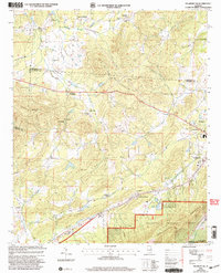
1947 Eulaton
Calhoun County, AL
1947 Francis Mill
Calhoun County, AL
1947 Wellington
Calhoun County, AL
1956 Eulaton
Calhoun County, AL
1956 Jacksonville West
Calhoun County, AL
1956 Wellington
Calhoun County, AL
1957 Colvin Gap
Calhoun County, AL
1967 Jacksonville East
Calhoun County, AL
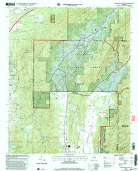
1967 Piedmont NW
Calhoun County, AL

1975 Francis Mill
Calhoun County, AL
1975 Jacksonville East
Calhoun County, AL
2001 Jacksonville East
Calhoun County, AL
2001 Piedmont NW
Calhoun County, AL
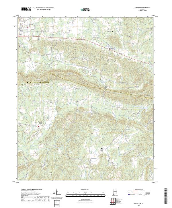
2024 Colvin Gap
Calhoun County, AL
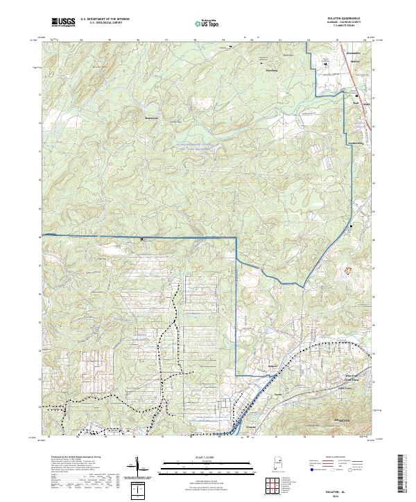
2024 Eulaton
Calhoun County, AL
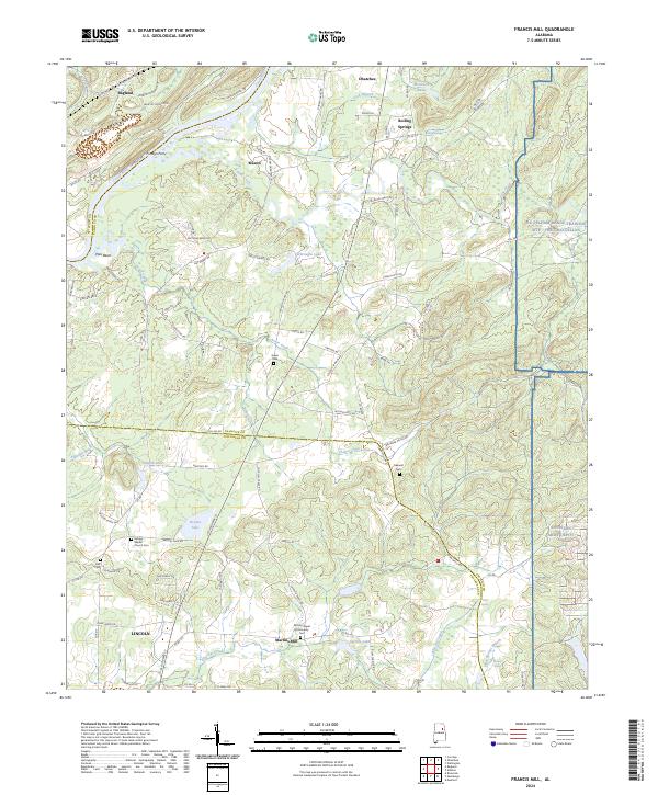
2024 Francis Mill
Calhoun County, AL
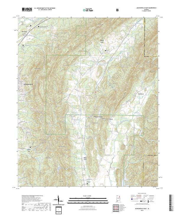
2024 Jacksonville East
Calhoun County, AL
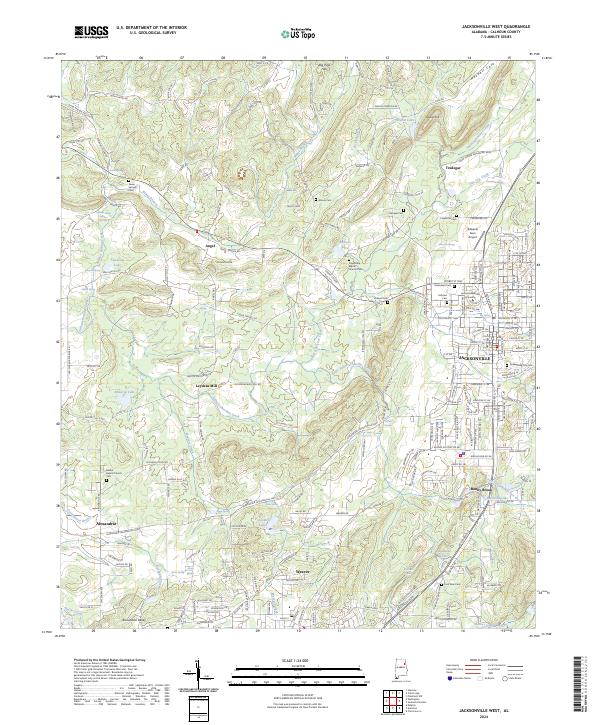
2024 Jacksonville West
Calhoun County, AL
2024 Piedmont NW
Calhoun County, AL
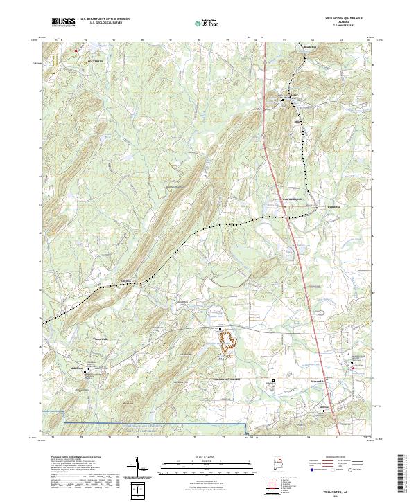
2024 Wellington
Calhoun County, AL