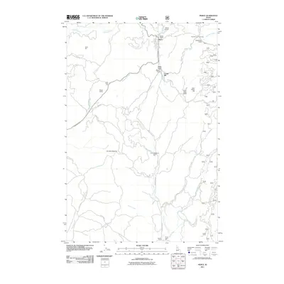
2011 Map of Pierce
USGS Topo · Published 2011About this map
Pierce anchors this northern Idaho landscape, situated at the confluence of several mountain drainages including Orofino Creek and Canal Gulch Creek. The settlement pattern follows the narrow valley floors and timbered ridges, where small communities like Judge Town and Cardiff Mill indicate a history of local industry. The terrain is defined by significant elevations such as Gold Hill and French Mountain, with the Pierce Divide separating the northern watercourses from the southern reaches of the quadrangle.
Find a feature on this map
44 named features on this map. Tap any name to fly to it.
Don’t see what you’re looking for? This feature index may not catch every label — zoom into the map to look around manually.
Map Details
Editions of this 2011 Pierce Map
This is the sole edition of this map. No revisions or reprints were ever made.
Other maps of this area

1923 · Washington Creek
USGS Topo · 1:125,000

1924 · Weippe
USGS Topo · 1:125,000

1938 · Headquarters
USGS Topo · 1:48,000

1944 · Headquarters
USGS Topo · 1:62,500

1956 · Hamilton
USGS Topo · 1:250,000

1959 · Hamilton
USGS Topo · 1:250,000

1960 · Hamilton
USGS Topo · 1:250,000

1964 · Hamilton
USGS Topo · 1:250,000

1965 · French Mountain
USGS Topo · 1:24,000

1966 · Pierce
USGS Topo · 1:24,000