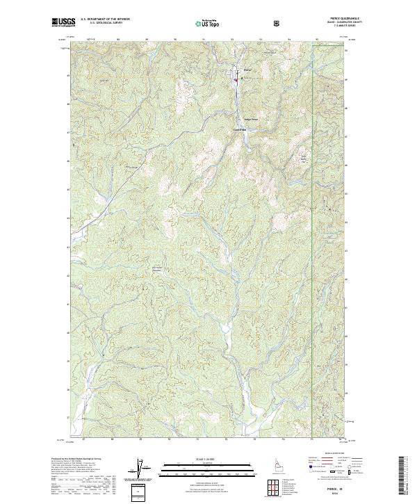
2024 Map of Pierce
USGS Topo · Published 2024About this map
Pierce and the neighboring settlements of Judge Town and Cardiff Mill serve as the focal points for this 2024 survey of Clearwater County. The town of Pierce, established during Idaho's gold rush era, sits at the confluence of several drainages including Canal Gulch and Hildebrand Creek. The map documents a landscape defined by its extractive and timber history, shown through names like Cardiff Mill and the networks of the Old Logging Rd and French Mtn Rd. Outside the settled areas, the terrain rises toward Gold Hill and Pierce Divide, while the eastern portion is dominated by the Clearwater National Forest. Local heritage is preserved in place names such as Gold Dollar Flat and Lew Hand Meadow, alongside family-named watercourses like Jim Brown Creek and Dan Lee Creek. The proximity of the Pierce Cem to the town center provides a primary reference for genealogical research in this historic mining district.
Find a feature on this map
48 named features on this map. Tap any name to fly to it.
Don’t see what you’re looking for? This feature index may not catch every label — zoom into the map to look around manually.
Map Details
Editions of this 2024 Pierce Map
This is the sole edition of this map. No revisions or reprints were ever made.
Other maps of this area

1923 · Washington Creek
USGS Topo · 1:125,000

1924 · Weippe
USGS Topo · 1:125,000

1938 · Headquarters
USGS Topo · 1:48,000

1944 · Headquarters
USGS Topo · 1:62,500

1956 · Hamilton
USGS Topo · 1:250,000

1959 · Hamilton
USGS Topo · 1:250,000

1960 · Hamilton
USGS Topo · 1:250,000

1964 · Hamilton
USGS Topo · 1:250,000

1965 · French Mountain
USGS Topo · 1:24,000

1966 · Pierce
USGS Topo · 1:24,000