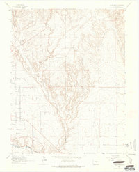
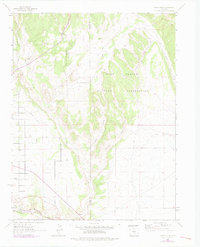
1963 Map of Pierce Gulch
USGS Topo · Published 1965About this map
The Arkansas River serves as a primary geographic anchor in this 1963 survey, cutting through the southern portion of the landscape alongside the Denver and Rio Grande Western railroad. This corridor highlights the critical transport and water infrastructure of the era, further emphasized by the presence of a Pipeline, an Aqueduct, and a local Ditch. These features suggest a landscape managed for both industrial transport and water diversion in a semi-arid environment.
Find a feature on this map
12 named features on this map. Tap any name to fly to it.
Don’t see what you’re looking for? This feature index may not catch every label — zoom into the map to look around manually.
Map Details
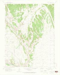
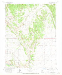
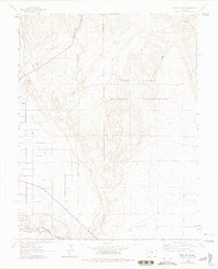
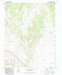
Editions of this 1963 Pierce Gulch Map
6 editions found
Other maps of this area

1889 · Canon City
USGS Topo · 1:125,000

1891 · Pueblo
USGS Topo · 1:125,000

1892 · Canon City
USGS Topo · 1:125,000

1893 · Colorado Springs
USGS Topo · 1:125,000

1894 · Pikes Peak
USGS Topo · 1:125,000

1894 · Pueblo
USGS Topo · 1:125,000

1896 · Pueblo
USGS Topo · 1:125,000

1897 · Pueblo
USGS Topo · 1:125,000

1901 · Pikes Peak
USGS Topo · 1:125,000

1909 · Colorado Springs
USGS Topo · 1:125,000