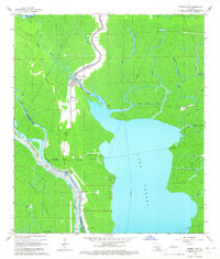
1966 Map of Pierre Part
USGS Topo · Published 1967About this map
The settlement of Pierre Part serves as the primary hub in this mid-1960s landscape, defined by a labyrinthine network of water and swamp. Located at the intersection of Little Bayou Pierre and Pierre Pass, the community’s layout follows the natural bends of the bayous, anchored by landmarks like Sacred Heart Ch and a central Water Tank. To the south, Belle River hosts another cluster of settlement featuring the Belle River Ch and a local Cem, situated along the Intracoastal Waterway (Alternate Route).
Find a feature on this map
36 named features on this map. Tap any name to fly to it.
Don’t see what you’re looking for? This feature index may not catch every label — zoom into the map to look around manually.
Map Details
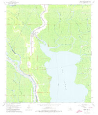
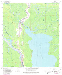
Editions of this 1966 Pierre Part Map
Other maps of this area

1935 · Chicot Lake
USGS Topo · 1:62,500

1936 · White Castle
USGS Topo · 1:62,500

1945 · New Orleans
USGS Topo · 1:250,000

1948 · Foster
USGS Topo · 1:62,500

1953 · Napoleonville
USGS Topo · 1:62,500

1954 · Chicot Lake
USGS Topo · 1:62,500

1954 · Baton Rouge
USGS Topo · 1:250,000
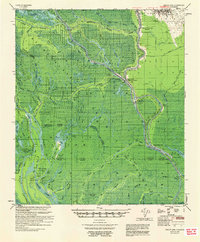
1955 · Chicot Lake
USGS Topo · 1:62,500

1956 · Baton Rouge
USGS Topo · 1:250,000

1959 · Foster
USGS Topo · 1:62,500