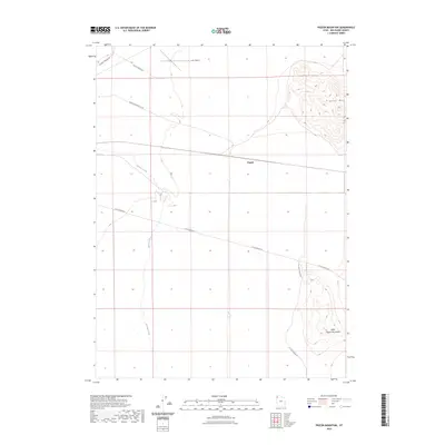
2023 Map of Pigeon Mountain
USGS Topo · Published 2023About this map
Pigeon stands as a primary point of reference in this corner of the Great Basin, situated along a linear corridor that cuts across the arid landscape. The terrain is defined by the prominent Pigeon Mtn in the northeast and the Little Pigeon Mountains to the southeast, creating a natural basin through which the ephemeral Grouse Creek flows. Transportation in the area relies on a network of unpaved routes including Pigeon Mountain Loop and Little Pigeon Rd, which connect the scattered topography to the Lucin Airport in the north. This modern survey reflects the enduring spatial organization of this remote part of Box Elder County, where the relationship between isolated peaks and drainage patterns continues to dictate the local road network and land use.
Find a feature on this map
10 named features on this map. Tap any name to fly to it.
Don’t see what you’re looking for? This feature index may not catch every label — zoom into the map to look around manually.
Map Details
Editions of this 2023 Pigeon Mountain Map
This is the sole edition of this map. No revisions or reprints were ever made.
Other maps of this area

1954 · Brigham City
USGS Topo · 1:250,000

1958 · Brigham City
USGS Topo · 1:250,000

1962 · Brigham City
USGS Topo · 1:250,000

1967 · Pigeon Mountain
USGS Topo · 1:24,000

1967 · Lucin
USGS Topo · 1:24,000
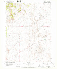
1967 · Lucin NW
USGS Topo · 1:24,000

1967 · Lucin NE
USGS Topo · 1:24,000

1967 · Lemay Island
USGS Topo · 1:24,000
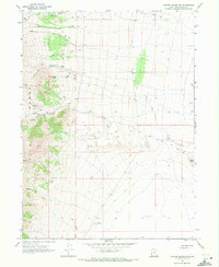
1967 · Crater Island NW
USGS Topo · 1:24,000

1983 · Jackson
USGS Topo · 1:24,000