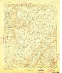
1895 Map of Pikeville
USGS Topo · Published 1900About this map
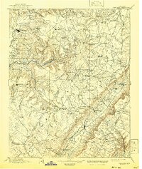
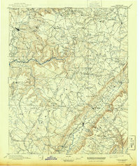
Pikeville serves as a focal point within the Sequatchie Valley at the close of the 19th century, marking a landscape defined by the transition from river bottoms to the high plateaus of the Cumberland Mountains. The Nashville Chattanooga and St. Louis R. R. Sequatchie Valley Branch terminates here, illustrating the era's rail-dependent economy. To the west, the rugged descent into The Gulf and the course of the Caney Fork river reveal a wilderness still navigated by Hodge Ferry. Local industry and social life are anchored by scattered landmarks such as Taylor Mill, Hale Chapel, and Sequatchie College. Genealogists may find value in locating early family settlements like Litton, Erasmus, and Yankeetown, alongside significant historical markers like the Rock House near Bon Air.
Find a feature on this map
150 named features on this map. Tap any name to fly to it.
Don’t see what you’re looking for? This feature index may not catch every label — zoom into the map to look around manually.
Map Details
Editions of this 1895 Pikeville Map
7 editions found

Other maps of this area

1886 · Cleveland
USGS Topo · 1:125,000

1887 · Kingston
USGS Topo · 1:125,000

1888 · Chattanooga
USGS Topo · 1:125,000

1891 · Kingston
USGS Topo · 1:125,000

1892 · Pikeville
USGS Topo · 1:125,000

1892 · Cleveland
USGS Topo · 1:125,000

1893 · Mc Minnville
USGS Topo · 1:125,000

1893 · Chattanooga
USGS Topo · 1:125,000

1893 · Kingston
USGS Topo · 1:125,000

1895 · Cleveland
USGS Topo · 1:125,000