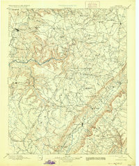
1895 Map of Pikeville
USGS Topo · Published 1928About this map
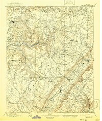
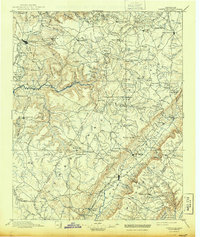
Pikeville sits at the head of the Sequatchie Valley, serving as a hub for the agricultural and rail interests of the late nineteenth century. This topography shows the Cumberland Mts. landscape as it was during the 1880s and 1890s, when the Nashville Chattanooga and St. Louis R. R. connected the valley floor to the broader region. Local social and economic life is evident in the inclusion of Sequatchie College and small processing centers like Taylor Mill and Follett Mill.
Find a feature on this map
140 named features on this map. Tap any name to fly to it.
Don’t see what you’re looking for? This feature index may not catch every label — zoom into the map to look around manually.
Map Details
Editions of this 1895 Pikeville Map
7 editions found

Other maps of this area

1886 · Cleveland
USGS Topo · 1:125,000

1887 · Kingston
USGS Topo · 1:125,000

1888 · Chattanooga
USGS Topo · 1:125,000

1891 · Kingston
USGS Topo · 1:125,000

1892 · Pikeville
USGS Topo · 1:125,000

1892 · Cleveland
USGS Topo · 1:125,000

1893 · Mc Minnville
USGS Topo · 1:125,000

1893 · Chattanooga
USGS Topo · 1:125,000

1893 · Kingston
USGS Topo · 1:125,000

1895 · Cleveland
USGS Topo · 1:125,000