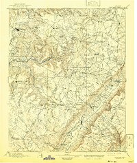
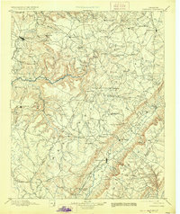
1895 Map of Pikeville
USGS Topo · Published 1941About this map
The Caney Fork and its dramatic canyon, known as The Gulf, dominate the high terrain of the Cumberland Plateau in this late 19th-century survey. The landscape is a network of isolated plateau settlements and early coal stops, including the rail-serviced town of Sparta and the mining area near Bon Air. Deep within the mountain gaps, early transport is marked by landmarks like Hodge Ferry and Eastland Stand, while the valley floors contain established communities such as Pikeville and Crossville. This survey by L. Nell and F. M. Pearson captures the region before extensive modernization, showing the original rail routes of the Nashville Chattanooga and St. Louis R. R. winding through the gaps. The presence of Grassy Cove and numerous family-named landmarks like Mc Cager Point and Hale Mill provides a look at the early rural geography of Bledsoe, White, and Cumberland counties.
Find a feature on this map
151 named features on this map. Tap any name to fly to it.
Don’t see what you’re looking for? This feature index may not catch every label — zoom into the map to look around manually.
Map Details
Editions of this 1895 Pikeville Map
7 editions found

Other maps of this area

1886 · Cleveland
USGS Topo · 1:125,000

1887 · Kingston
USGS Topo · 1:125,000

1888 · Chattanooga
USGS Topo · 1:125,000

1891 · Kingston
USGS Topo · 1:125,000

1892 · Pikeville
USGS Topo · 1:125,000

1892 · Cleveland
USGS Topo · 1:125,000

1893 · Mc Minnville
USGS Topo · 1:125,000

1893 · Chattanooga
USGS Topo · 1:125,000

1893 · Kingston
USGS Topo · 1:125,000

1895 · Cleveland
USGS Topo · 1:125,000