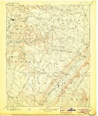
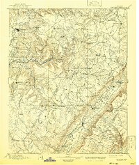
1895 Map of Pikeville
USGS Topo · Published 1905About this map
Pikeville sits at the heart of this late-19th-century survey, anchoring a landscape where the rugged Sequatchie Valley meets the high Cumberland Plateau. The map reveals a transition from the established valley towns to the isolated plateau settlements like Crossville and Sparta. Industrial and educational footprints are evident through features such as Sequatchie College and the various mineral and timber resources implied by the rail spurs of the Nashville and Chattanooga and St. Louis R.R. stretching toward the plateau rim.
Find a feature on this map
172 named features on this map. Tap any name to fly to it.
Don’t see what you’re looking for? This feature index may not catch every label — zoom into the map to look around manually.
Map Details
Editions of this 1895 Pikeville Map
7 editions found

Other maps of this area

1886 · Cleveland
USGS Topo · 1:125,000

1887 · Kingston
USGS Topo · 1:125,000

1888 · Chattanooga
USGS Topo · 1:125,000

1891 · Kingston
USGS Topo · 1:125,000

1892 · Pikeville
USGS Topo · 1:125,000

1892 · Cleveland
USGS Topo · 1:125,000

1893 · Mc Minnville
USGS Topo · 1:125,000

1893 · Chattanooga
USGS Topo · 1:125,000

1893 · Kingston
USGS Topo · 1:125,000

1895 · Cleveland
USGS Topo · 1:125,000