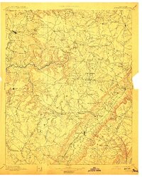
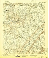
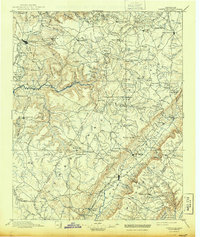
1895 Map of Pikeville
USGS Topo · Published 1913About this map
Sequatchie Valley and the prominent Walden Ridge dominate this late-nineteenth-century landscape, a region defined by its high plateaus and deep river gorges. The Nashville Chattanooga and St. Louis R. R. follows the valley floor, connecting Pikeville to the north, while the Caney Fork River cuts through the western highlands. This era captures the area's transition into a more settled coal and timber corridor, marked by early institutions like Sequatchie College and remote stops such as Eastland Stand. Rural life is anchored by family-named landmarks like Hale Chapel and Mc Cager Point, alongside industry sites like Hale Mill and Tallett Mill. The presence of Hodge Ferry across the Caney Fork River indicates the critical river crossings required before the development of modern road infrastructure in the Cumberland and Bledsoe borderlands.
Find a feature on this map
154 named features on this map. Tap any name to fly to it.
Don’t see what you’re looking for? This feature index may not catch every label — zoom into the map to look around manually.
Map Details
Editions of this 1895 Pikeville Map
7 editions found

Other maps of this area

1886 · Cleveland
USGS Topo · 1:125,000

1887 · Kingston
USGS Topo · 1:125,000

1888 · Chattanooga
USGS Topo · 1:125,000

1891 · Kingston
USGS Topo · 1:125,000

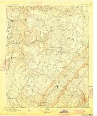
1892 · Pikeville
USGS Topo · 1:125,000

1892 · Cleveland
USGS Topo · 1:125,000

1893 · Mc Minnville
USGS Topo · 1:125,000

1893 · Chattanooga
USGS Topo · 1:125,000

1893 · Kingston
USGS Topo · 1:125,000

1895 · Cleveland
USGS Topo · 1:125,000