
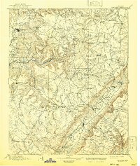
1895 Map of Pikeville
USGS Topo · Published 1895About this map
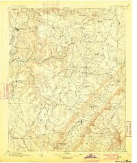
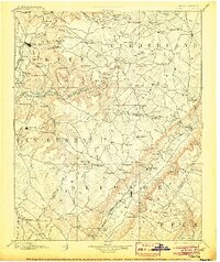
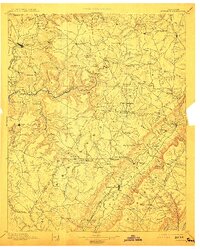
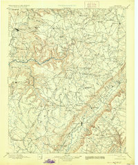
The Cumberland Plateau in the late nineteenth century is characterized by a network of high-elevation settlements and critical gaps through the ridge lines. Pikeville serves as a primary valley hub, while the Nashville Chattanooga and St. Louis R. R. pushes through the hills to reach coal and timber resources near Bon Air. Local industry and community life are evidenced by Hale Mill on the creeks and Sequatchie College to the south. Distinctive landmarks such as the Rock House near Sparta and the Eastland Stand indicate the importance of established waypoints along the plateau trails. The landscape is defined by its difficult passages, including Stevens Gap and Morris Gap, which dictated the flow of trade and travel between the Caney Fork and the valley floor.
Find a feature on this map
144 named features on this map. Tap any name to fly to it.
Don’t see what you’re looking for? This feature index may not catch every label — zoom into the map to look around manually.
Map Details
Editions of this 1895 Pikeville Map
7 editions found
Other maps of this area

1886 · Cleveland
USGS Topo · 1:125,000

1887 · Kingston
USGS Topo · 1:125,000

1888 · Chattanooga
USGS Topo · 1:125,000

1891 · Kingston
USGS Topo · 1:125,000

1892 · Pikeville
USGS Topo · 1:125,000

1892 · Cleveland
USGS Topo · 1:125,000

1893 · Mc Minnville
USGS Topo · 1:125,000

1893 · Chattanooga
USGS Topo · 1:125,000

1893 · Kingston
USGS Topo · 1:125,000

1895 · Cleveland
USGS Topo · 1:125,000