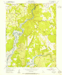
1954 Map of Pilot Hill
USGS Topo · Published 1955About this map
Blue hatching across the western and southern canyons of the North Fork American River indicates the impending transformation of this landscape by the North Fork American River Reservoir. This 1954 survey captures the Foothills before the waters rose, documenting several riverbar settlements marked as sites, including Whiskey Bar, Rattlesnake Bar, and Goose Flat. The map provides a critical record for genealogists and local historians, showing the Bayley House and the Pilot Hill Cemetery near the community of Pilot Hill. Gold-era remnants are visible throughout the terrain, from the Zantgraf Mine and Lukens Mine to the complex network of water infrastructure like the Boardman Canal and Nigger Hill Ditch. This document preserves the final terrestrial layout of the river forks and the historic Rattlesnake Bridge crossing before they were submerged by the Folsom Reservoir project.
Find a feature on this map
63 named features on this map. Tap any name to fly to it.
Don’t see what you’re looking for? This feature index may not catch every label — zoom into the map to look around manually.
Map Details
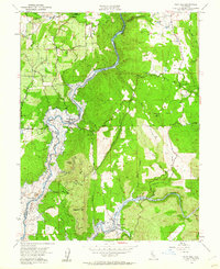
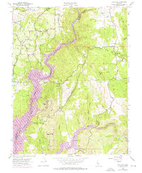
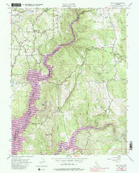
Editions of this 1954 Pilot Hill Map
4 editions found
Other maps of this area

1891 · Sacramento
USGS Topo · 1:125,000

1891 · Placerville
USGS Topo · 1:125,000

1892 · Sacramento
USGS Topo · 1:125,000

1892 · Placerville
USGS Topo · 1:125,000

1893 · Placerville
USGS Topo · 1:125,000

1893 · Sacramento
USGS Topo · 1:125,000

1914 · Folsom
USGS Topo · 1:31,680

1941 · Folsom
USGS Topo · 1:62,500
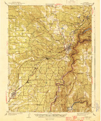
1944 · Auburn
USGS Topo · 1:62,500
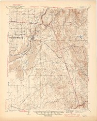
1944 · Folsom
USGS Topo · 1:62,500