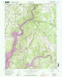
1954 Map of Pilot Hill
USGS Topo · Published 1986About this map
The North Fork American River and South Fork American River carve through the landscape of the El Dorado and Placer County border, revealing a terrain deeply shaped by the California Gold Rush and its subsequent industrial evolution. Early settlement centers around Pilot Hill, where the presence of the Bayley House and Pilot Hill Cemetery points to a well-established community. The map identifies numerous mining operations, including the Zantgraf Mine and Boulder Mine, reflecting the region's mineral-rich history.
Find a feature on this map
49 named features on this map. Tap any name to fly to it.
Don’t see what you’re looking for? This feature index may not catch every label — zoom into the map to look around manually.
Map Details
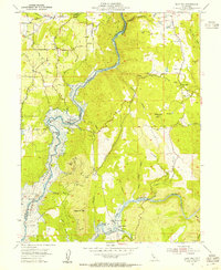
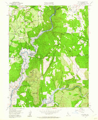
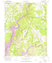
Editions of this 1954 Pilot Hill Map
4 editions found
Other maps of this area

1891 · Sacramento
USGS Topo · 1:125,000

1891 · Placerville
USGS Topo · 1:125,000

1892 · Sacramento
USGS Topo · 1:125,000

1892 · Placerville
USGS Topo · 1:125,000

1893 · Placerville
USGS Topo · 1:125,000

1893 · Sacramento
USGS Topo · 1:125,000

1914 · Folsom
USGS Topo · 1:31,680

1941 · Folsom
USGS Topo · 1:62,500
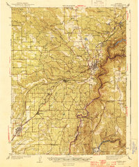
1944 · Auburn
USGS Topo · 1:62,500
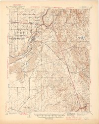
1944 · Folsom
USGS Topo · 1:62,500