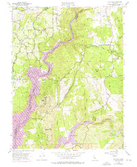
1954 Map of Pilot Hill
USGS Topo · Published 1976About this map
Auburn Rancheria and the historic settlement of Pilot Hill anchor this mid-century survey of the gold country foothills where Placer and El Dorado counties meet. The landscape is defined by the deep incisions of the North Fork American River and South Fork American River, separated by a complex network of ridges and ravines. Mining history is evident throughout the terrain, with established claims like the Lukens Mine, Boulder Mine, and Zanigraf Mine located near peaks such as Flagstaff Hill and Shirttail Peak.
Find a feature on this map
49 named features on this map. Tap any name to fly to it.
Don’t see what you’re looking for? This feature index may not catch every label — zoom into the map to look around manually.
Map Details
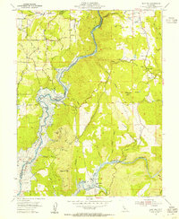
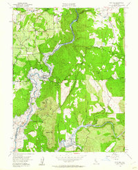
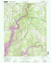
Editions of this 1954 Pilot Hill Map
4 editions found
Other maps of this area

1891 · Sacramento
USGS Topo · 1:125,000

1891 · Placerville
USGS Topo · 1:125,000

1892 · Sacramento
USGS Topo · 1:125,000

1892 · Placerville
USGS Topo · 1:125,000

1893 · Placerville
USGS Topo · 1:125,000

1893 · Sacramento
USGS Topo · 1:125,000

1914 · Folsom
USGS Topo · 1:31,680

1941 · Folsom
USGS Topo · 1:62,500
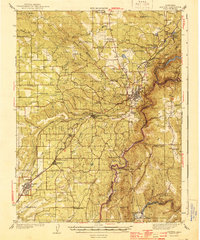
1944 · Auburn
USGS Topo · 1:62,500
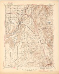
1944 · Folsom
USGS Topo · 1:62,500