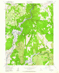
1954 Map of Pilot Hill
USGS Topo · Published 1960About this map
Gold mining history defines the landscape of the American River's North and South Forks in the early 1950s. This survey records a critical moment of transition, with blue hatching indicating areas destined to be submerged by the Folsom Reservoir at the spillway elevation. Many historic mining settlements, identified here as sites, are positioned along the riverbanks including Whiskey Bar, Horseshoe Bar, and Rattlesnake Bar near the Rattlesnake Bridge.
Find a feature on this map
53 named features on this map. Tap any name to fly to it.
Don’t see what you’re looking for? This feature index may not catch every label — zoom into the map to look around manually.
Map Details
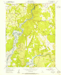
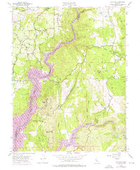
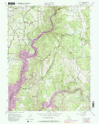
Editions of this 1954 Pilot Hill Map
4 editions found
Other maps of this area

1891 · Sacramento
USGS Topo · 1:125,000

1891 · Placerville
USGS Topo · 1:125,000

1892 · Sacramento
USGS Topo · 1:125,000

1892 · Placerville
USGS Topo · 1:125,000

1893 · Placerville
USGS Topo · 1:125,000

1893 · Sacramento
USGS Topo · 1:125,000

1914 · Folsom
USGS Topo · 1:31,680

1941 · Folsom
USGS Topo · 1:62,500
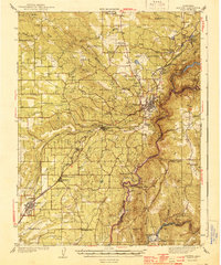
1944 · Auburn
USGS Topo · 1:62,500
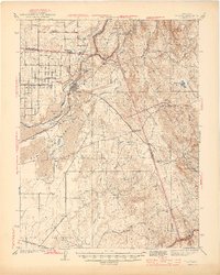
1944 · Folsom
USGS Topo · 1:62,500