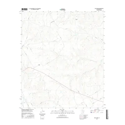
2016 Map of Pilot Knob
USGS Topo · Published 2016About this map
Cedron Cr and its various tributaries, including Toms Br and Stanifer Br, carve through this central Texas landscape near the prominent landform of Pilot Knob. The area is defined by a rural network of county roads and ranch lands, including the Gregory Ranch Rd and the private W4 Ranch Airport in the northern portion of the map. For genealogists and local historians, the Cedron Cem stands as a significant point of interest near the eastern edge of the quadrangle. The map illustrates a contemporary rural environment where historical ranching boundaries meet modern infrastructure like Farm Rd 2840 and Farm Rd 1991, preserving the names of the early settlers and natural landmarks that have long defined this part of Bosque County.
Find a feature on this map
24 named features on this map. Tap any name to fly to it.
Don’t see what you’re looking for? This feature index may not catch every label — zoom into the map to look around manually.
Map Details
Editions of this 2016 Pilot Knob Map
This is the sole edition of this map. No revisions or reprints were ever made.
Other maps of this area

1888 · Meridian
USGS Topo · 1:125,000

1889 · Granbury
USGS Topo · 1:125,000

1891 · Cleburne
USGS Topo · 1:125,000

1892 · Waco
USGS Topo · 1:125,000

1894 · Meridian
USGS Topo · 1:125,000

1894 · Cleburne
USGS Topo · 1:125,000

1920 · Waco
USGS Topo · 1:125,000

1924 · Waco 2-b
USGS Topo · 1:48,000

1924 · Cleburne 3-C
USGS Topo · 1:48,000

1927 · Blum
USGS Topo · 1:62,500