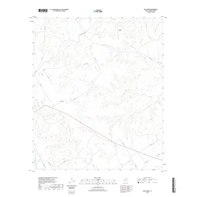
2019 Map of Pilot Knob
USGS Topo · Published 2019About this map
Pilot Knob rises as a prominent landmark in this section of Bosque County, overlooking a landscape defined by the branching tributaries of the Brazos River watershed. The terrain is deeply etched by watercourses such as Cedron Cr and Toms Br, which dictate the winding paths of local routes like Gregory-Ranch Rd and Co RD 1105. This network of country roads connects isolated homesteads and ranching properties across the limestone uplands, reflecting a long-standing rural settlement pattern. Near the eastern edge, the Cedron Cem serves as a quiet record of the area's pioneer generations, while the W4 Ranch Airport represents a modern layer of land use. The map captures a high degree of detail in the drainage systems of Stanifer Br and Montgomery Cr, showing how the topography continues to shape the agricultural and residential life of this Texas county.
Find a feature on this map
24 named features on this map. Tap any name to fly to it.
Don’t see what you’re looking for? This feature index may not catch every label — zoom into the map to look around manually.
Map Details
Editions of this 2019 Pilot Knob Map
This is the sole edition of this map. No revisions or reprints were ever made.
Other maps of this area

1888 · Meridian
USGS Topo · 1:125,000

1889 · Granbury
USGS Topo · 1:125,000

1891 · Cleburne
USGS Topo · 1:125,000

1892 · Waco
USGS Topo · 1:125,000

1894 · Meridian
USGS Topo · 1:125,000

1894 · Cleburne
USGS Topo · 1:125,000

1920 · Waco
USGS Topo · 1:125,000

1924 · Waco 2-b
USGS Topo · 1:48,000

1924 · Cleburne 3-C
USGS Topo · 1:48,000

1927 · Blum
USGS Topo · 1:62,500