
1954 Map of Pilot Knob
USGS Topo · Published 1955About this map
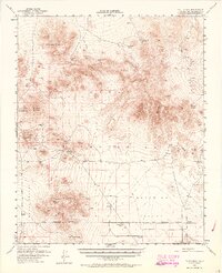
Robbers Mountain and Pilot Knob anchor this high-desert landscape in the mid-1950s, a region defined by its reliance on scattered water sources and its transition into military stewardship. The map documents the Naval Reservation Boundary, marking the expansion of the Naval Ordnance Test Station across vast stretches of Grass Valley and Superior Valley. This period shows a landscape where early mining and ranching history, evidenced by Copper City (Site) and various unnamed Mines, began to give way to large-scale federal operations. Remote outposts like Granite Wells and Slocum Camp appear alongside critical desert hydrology, including the aptly named Moonshine Spring, Lead Pipe Spring, and the ephemeral Superior Lake. The presence of several Jeep Trails and the dry Seaburgs Well suggests a terrain that was surveyed just as modern off-road access and military testing were becoming the dominant forces in the Mojave.
Find a feature on this map
23 named features on this map. Tap any name to fly to it.
Don’t see what you’re looking for? This feature index may not catch every label — zoom into the map to look around manually.
Map Details
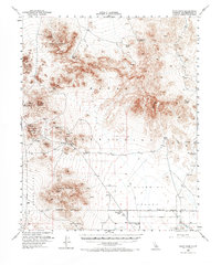
Editions of this 1954 Pilot Knob Map
3 editions found
Other maps of this area

1915 · Searles Lake
USGS Topo · 1:250,000

1933 · Avawatz Mountains
USGS Topo · 1:250,000

1947 · Trona
USGS Topo · 1:250,000

1948 · Trona
USGS Topo · 1:250,000

1948 · Quail Mountains
USGS Topo · 1:62,500

1948 · Lane Mountain
USGS Topo · 1:62,500

1948 · Goldstone Lake
USGS Topo · 1:62,500

1949 · Searles Lake
USGS Topo · 1:62,500

1950 · Searles Lake
USGS Topo · 1:62,500

1950 · Wingate Pass
USGS Topo · 1:62,500