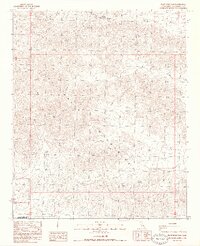
1986 Map of Pilot Mountain
USGS Topo · Published 1986About this map
The Chuckwalla Mountains dominate this 1986 Riverside County landscape, characterized by high peaks and desert washes. This provisional survey captures a remote portion of the California desert where water sources like Corn Springs and Gulliday Well were critical for navigation and survival. To the south, the boundary of the Chocolate Mountain Aerial Gunnery Range marks a significant military footprint on the land, separating restricted defense zones from the open desert. Significant elevations such as Pilot Mountain, Black Butte, and Sharp Peak provide the primary navigational landmarks across this arid terrain. Small-scale mining activity is evidenced by scattered prospects, while seasonal drainages like Ship Creek illustrate the natural drainage patterns of the Chuckwalla range before they disappear into the valley floors.
Find a feature on this map
15 named features on this map. Tap any name to fly to it.
Don’t see what you’re looking for? This feature index may not catch every label — zoom into the map to look around manually.
Map Details
Editions of this 1986 Pilot Mountain Map
2 editions found
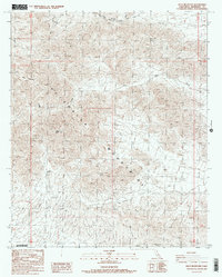
Other maps of this area

1940 · Iris Pass
USGS Topo · 1:62,500

1944 · Chuckwalla Mountains
USGS Topo · 1:62,500

1945 · Iris Pass
USGS Topo · 1:62,500

1952 · Sidewinder Well
USGS Topo · 1:62,500

1953 · Chuckwalla Spring
USGS Topo · 1:62,500

1954 · Salton Sea
USGS Topo · 1:250,000

1955 · Salton Sea
USGS Topo · 1:250,000

1959 · Salton Sea
USGS Topo · 1:250,000

1963 · Salton Sea
USGS Topo · 1:250,000
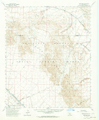
1963 · Iris Pass
USGS Topo · 1:62,500