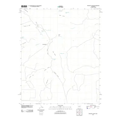
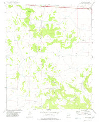
2010 Map of Pinavete Canyon
USGS Topo · Published 2010About this map
Derramadero sits at a crossroads of land and water management in this high-desert landscape of Torrance County. The terrain is defined by a complex network of drainages and named canyons, including Pinavete Canyon and Carneros Canyon, which carve through the arid plateaus. Notable family-named landmarks like Mesa Apodaca and Armijo Peak rise above the basin, while the proliferation of earthen reservoirs, such as Prudencia Tank, Joselino Tank, and Apodaca Tank, illustrates the critical importance of water storage for ranching in this environment. The presence of Pintada Arroyo and Cañoncito de Milpa further highlights the delicate balance between the dry, high-elevation terrain and the seasonal water flows that dictate the region's human and agricultural geography.
Find a feature on this map
20 named features on this map. Tap any name to fly to it.
Don’t see what you’re looking for? This feature index may not catch every label — zoom into the map to look around manually.
Map Details
Editions of this 2010 Pinavete Canyon Map
This is the sole edition of this map. No revisions or reprints were ever made.
Other maps of this area

1954 · Fort Sumner
USGS Topo · 1:250,000

1958 · Fort Sumner
USGS Topo · 1:250,000
1978 · Milagro Spring
USGS Topo · 1:24,000
1978 · George Ranch
USGS Topo · 1:24,000

1978 · Mesa Leon
USGS Topo · 1:24,000

1978 · Santa Barbara Lake
USGS Topo · 1:24,000

1978 · Santo Nino Canyon
USGS Topo · 1:24,000

1978 · Encino
USGS Topo · 1:24,000
1978 · Milagro
USGS Topo · 1:24,000
1978 · Palma
USGS Topo · 1:24,000