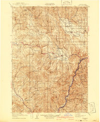
1915 Map of Pine
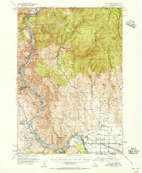
USGS Topo · Published 1941About this map
The Snake River carves a deep boundary at the eastern edge of this landscape, where the Oregon-Washington Railroad & Navigation Co line follows its winding course past Robinette and Mineral Sta. Inland, the economy of the early twentieth century is written in the network of mountain settlements like Halfway and Richland situated along Pine Creek and the Powder River. The map reveals a region defined by extraction and remote homesteading, featuring the Poorman Mine and Sunder Mine tucked into the hills of the Whitman National Forest. Local life is anchored by small rural institutions, including the Pheasant Ridge School and Sunnyside School, while family operations like Ritchies Ranch are scattered across the terrain. From the high peaks of Little Lookout Mtn to the ferry crossings on the river, the survey documents a period when rugged travel and resource discovery shaped Baker County.
Find a feature on this map
79 named features on this map. Tap any name to fly to it.
Don’t see what you’re looking for? This feature index may not catch every label — zoom into the map to look around manually.
Map Details
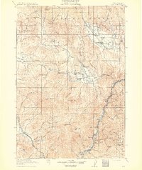
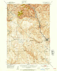
Editions of this 1915 Pine Map
3 editions found
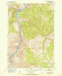
Other maps of this area

1897 · Weiser
USGS Topo · 1:125,000

1901 · Baker City
USGS Topo · 1:125,000

1906 · Telocaset
USGS Topo · 1:125,000

1915 · Pine
USGS Topo · 1:125,000
1951 · Huntington
USGS Topo · 1:62,500
1952 · Olds Ferry NW
USGS Topo · 1:24,000
1952 · Olds Ferry
USGS Topo · 1:62,500

1953 · Mann Creek
USGS Topo · 1:62,500
1954 · Cornucopia
USGS Topo · 1:62,500

1954 · Eagle Cap
USGS Topo · 1:62,500