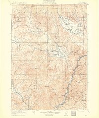
1915 Map of Pine
USGS Topo · Published 1915About this map
Mining and ranching define the Baker County frontier shown here during the early twentieth century. Operations at Sanger Mine and Poorman Mine underscore the region's industrial foundations, while scattered outposts like Ritchie's Ranch and the Ranger Station suggest the slow push of settlement into the surrounding high country. Transportation relies on a mix of river crossings and emerging rail lines, notably the Oregon-Washington Railroad & Navigation Co which follows the snake-like course of the Powder River and Snake River along the eastern boundary.
Find a feature on this map
113 named features on this map. Tap any name to fly to it.
Don’t see what you’re looking for? This feature index may not catch every label — zoom into the map to look around manually.
Map Details
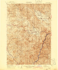
Editions of this 1915 Pine Map
3 editions found
Other maps of this area

1897 · Weiser
USGS Topo · 1:125,000

1901 · Baker City
USGS Topo · 1:125,000

1906 · Telocaset
USGS Topo · 1:125,000

1915 · Pine
USGS Topo · 1:125,000

1951 · Huntington
USGS Topo · 1:62,500

1952 · Olds Ferry NW
USGS Topo · 1:24,000

1952 · Olds Ferry
USGS Topo · 1:62,500

1953 · Mann Creek
USGS Topo · 1:62,500

1954 · Cornucopia
USGS Topo · 1:62,500

1954 · Eagle Cap
USGS Topo · 1:62,500