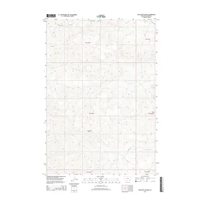
2014 Map of Pine Butte School
USGS Topo · Published 2014About this map
Pine Butte School stands as the primary landmark in this remote corner of Big Horn County, situated within the high-country watersheds that feed the Tongue River basin. The landscape is defined by a dense network of drainage systems, including Corral Creek, Anderson Creek, and First Creek, which carve deep paths through the high plains. Local ranchers and travelers in this era relied on a sparse network of unpaved corridors such as Quietus Rd and 77 Ranch Rd to navigate the undulating terrain. Significant geographical features like John Reavis Draw and the uniquely named Forks Cut Across suggest a history of local land use and seasonal livestock movement through the draws and across the divides of the northern Big Horn region.
Find a feature on this map
21 named features on this map. Tap any name to fly to it.
Don’t see what you’re looking for? This feature index may not catch every label — zoom into the map to look around manually.
Map Details
Editions of this 2014 Pine Butte School Map
This is the sole edition of this map. No revisions or reprints were ever made.
Other maps of this area

1909 · Sheridan
USGS Topo · 1:125,000

1911 · Sheridan
USGS Topo · 1:125,000

1954 · Hardin
USGS Topo · 1:250,000

1955 · Sheridan
USGS Topo · 1:250,000

1957 · Hardin
USGS Topo · 1:250,000

1958 · Hardin
USGS Topo · 1:250,000

1958 · Sheridan
USGS Topo · 1:250,000

1962 · Sheridan
USGS Topo · 1:250,000

1967 · Holmes Ranch
USGS Topo · 1:24,000

1967 · Lacey Gulch
USGS Topo · 1:24,000