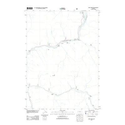
2012 Map of Pine Creek
USGS Topo · Published 2012About this map
The Snake River carves a dominant path through this portion of the Wyoming wilderness, meeting several significant tributaries including the Little Greys River and the Greys River. This 2012 survey illustrates the river-centric recreational and geographic character of the region, where access points like the West Table Creek Boat Ramp and seasonal stays at East Table Creek Campground or East Elbow Campground define the human footprint.
Find a feature on this map
30 named features on this map. Tap any name to fly to it.
Don’t see what you’re looking for? This feature index may not catch every label — zoom into the map to look around manually.
Map Details
Editions of this 2012 Pine Creek Map
This is the sole edition of this map. No revisions or reprints were ever made.
Other maps of this area

1931 · Jackson
USGS Topo · 1:125,000

1935 · Jackson
USGS Topo · 1:125,000

1955 · Driggs
USGS Topo · 1:250,000

1958 · Driggs
USGS Topo · 1:250,000

1962 · Driggs
USGS Topo · 1:250,000

1963 · Munger Mountain
USGS Topo · 1:24,000

1963 · Observation Peak
USGS Topo · 1:24,000

1963 · Ferry Peak
USGS Topo · 1:24,000

1965 · Pickle Pass
USGS Topo · 1:24,000

1965 · Camp Davis
USGS Topo · 1:24,000