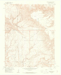
1960 Map of Pine Mountain
USGS Topo · Published 1961About this map
Uncompahgre National Forest dominates this landscape, defined by a network of drainage canyons and high plateaus. The 1960 survey highlights the remote backcountry of Mesa County, where transport was limited to primitive routes like the Jeep Trail and various pedestrian paths including a dedicated Snowshoe Trail and multiple Foot Trails. These routes provided access to secluded high-altitude water sources such as Far Pond, Middle Pond, and Rim Pond.
Find a feature on this map
34 named features on this map. Tap any name to fly to it.
Don’t see what you’re looking for? This feature index may not catch every label — zoom into the map to look around manually.
Map Details
Editions of this 1960 Pine Mountain Map
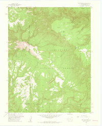
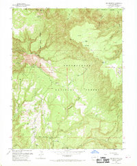
3 editions found
Other maps of this area

1949 · Juanita Arch
USGS Topo · 1:24,000

1949 · Calamity Mesa
USGS Topo · 1:24,000

1949 · Gateway
USGS Topo · 1:24,000

1950 · Juanita Arch
USGS Topo · 1:24,000

1950 · Calamity Mesa
USGS Topo · 1:24,000

1950 · Pine Mountain
USGS Topo · 1:24,000

1952 · Gateway
USGS Topo · 1:24,000

1956 · Moab
USGS Topo · 1:250,000

1959 · Moab
USGS Topo · 1:250,000

1960 · Moab
USGS Topo · 1:250,000