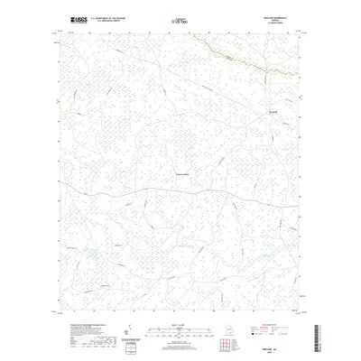
2020 Map of Pineland
USGS Topo · Published 2020About this map
Pineland sits at the center of this landscape in southern Echols County, characterized by a complex network of bays and wetlands typical of the Georgia coastal plain. The terrain is defined by large, named depressions and swampy reaches such as Tiger Bay, Piney Bay, and Savannah Bay, which dictate the winding paths of local connectors like Pineland Haylow Rd. To the north, Suwannoochee Cr forms a portion of the boundary between Clinch and Echols counties, while the southern reaches are marked by the Georgia Sink and the drainage of Toms Cr. The mapping of these specific wetland features, including White Arm Toms Cr and Indian Bay, provides a clear view of the hydrological patterns that have historically influenced settlement and road placement in this timber-rich region.
Find a feature on this map
53 named features on this map. Tap any name to fly to it.
Don’t see what you’re looking for? This feature index may not catch every label — zoom into the map to look around manually.
Map Details
Editions of this 2020 Pineland Map
This is the sole edition of this map. No revisions or reprints were ever made.
Other maps of this area

1954 · Valdosta
USGS Topo · 1:250,000

1955 · Jasper
USGS Topo · 1:24,000

1955 · Cypress Creek
USGS Topo · 1:24,000

1955 · Fargo SW
USGS Topo · 1:24,000

1958 · Valdosta
USGS Topo · 1:250,000

1959 · Valdosta
USGS Topo · 1:250,000

1968 · Needmore
USGS Topo · 1:24,000

1968 · Headlight
USGS Topo · 1:24,000

1971 · Thelma
USGS Topo · 1:24,000

1971 · Tarver
USGS Topo · 1:24,000