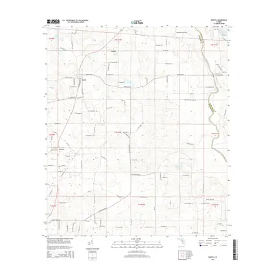
2015 Map of Pinetta
USGS Topo · Published 2015About this map
The Withlacoochee River forms a significant natural boundary on the eastern edge of this region, separating Madison and Hamilton counties. This landscape is defined by its rural character and a network of named local roads that often follow historic property lines, such as Mickler's Cut-Off and NE Bellville Rd. Small settlements like Pinetta, Hanson, and Leland are scattered throughout, each serving as a focal point for the surrounding agricultural and timber lands.
Find a feature on this map
100 named features on this map. Tap any name to fly to it.
Don’t see what you’re looking for? This feature index may not catch every label — zoom into the map to look around manually.
Map Details
Editions of this 2015 Pinetta Map
This is the sole edition of this map. No revisions or reprints were ever made.
Other maps of this area

1954 · Valdosta
USGS Topo · 1:250,000

1956 · Clyattville
USGS Topo · 1:24,000

1956 · Nankin
USGS Topo · 1:24,000

1956 · Octahatchee
USGS Topo · 1:24,000

1958 · Valdosta
USGS Topo · 1:250,000

1958 · Lee
USGS Topo · 1:24,000

1959 · Valdosta
USGS Topo · 1:250,000

1959 · Madison
USGS Topo · 1:24,000

1959 · Ellaville
USGS Topo · 1:24,000

1960 · Cherry Lake
USGS Topo · 1:24,000