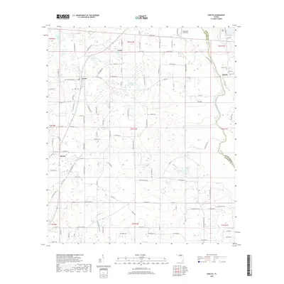
2018 Map of Pinetta
USGS Topo · Published 2018About this map
The Withlacoochee River carves a winding path along the eastern border of this north Florida landscape, marking the boundary where Hamilton County meets Madison County. This area is characterized by a network of rural settlements, including Pinetta, Bellville, and Hanson, connected by a grid of named county roads and sandy tracks. The terrain is dotted with distinctive water bodies such as Butler Lake in the northwest and Grassy Pond at the center, illustrating the typical karst-influenced hydrology of the region.
Find a feature on this map
118 named features on this map. Tap any name to fly to it.
Don’t see what you’re looking for? This feature index may not catch every label — zoom into the map to look around manually.
Map Details
Editions of this 2018 Pinetta Map
This is the sole edition of this map. No revisions or reprints were ever made.
Other maps of this area

1954 · Valdosta
USGS Topo · 1:250,000

1956 · Clyattville
USGS Topo · 1:24,000

1956 · Nankin
USGS Topo · 1:24,000

1956 · Octahatchee
USGS Topo · 1:24,000

1958 · Valdosta
USGS Topo · 1:250,000

1958 · Lee
USGS Topo · 1:24,000

1959 · Valdosta
USGS Topo · 1:250,000

1959 · Madison
USGS Topo · 1:24,000

1959 · Ellaville
USGS Topo · 1:24,000

1960 · Cherry Lake
USGS Topo · 1:24,000